What is recorded here
Embanked enclosure is a fairy fort or earthen ringfort in Kilnafrehan East, County Waterford, Ireland. It occupies the top of a northwest-southeast ridge as a circular grass-covered area measuring 39 metres northwest-southeast and 37 metres northeast-southwest. An earth and stone bank defines the site, reaches 1 to 1.5 metres high externally, and reduces to a scarp in places.
Located on top of a NW-SE ridge. Circular grass-covered area (diam. 39m NW-SE; 37m NE-SW) defined by an earth and stone bank (Wth 3.5-4m; int. H 0.3-1m; ext. H 1-1.5m) NNE-SE which is curtailed by a NE-SW field bank at NW and reduced to a scarp (H 0.8-1.2m) elsewhere. An entrance (Wth 1.5m) at E might not be original and only slight traces of an outer fosse survive. A rath (WA031-011----) is immediately adjacent to the SW.
The above description is derived from the published 'Archaeological Inventory of County Waterford' (Dublin: Stationery Office, 1999). In certain instances the entries have been revised and updated in the light of recent research.
Compiled by: Michael Moore. Date of upload: 25th August, 2011.
The monument record does not grant public access. Check the route and ask the landowner before entering private land.
- What survives
- Recorded monument
Places near here
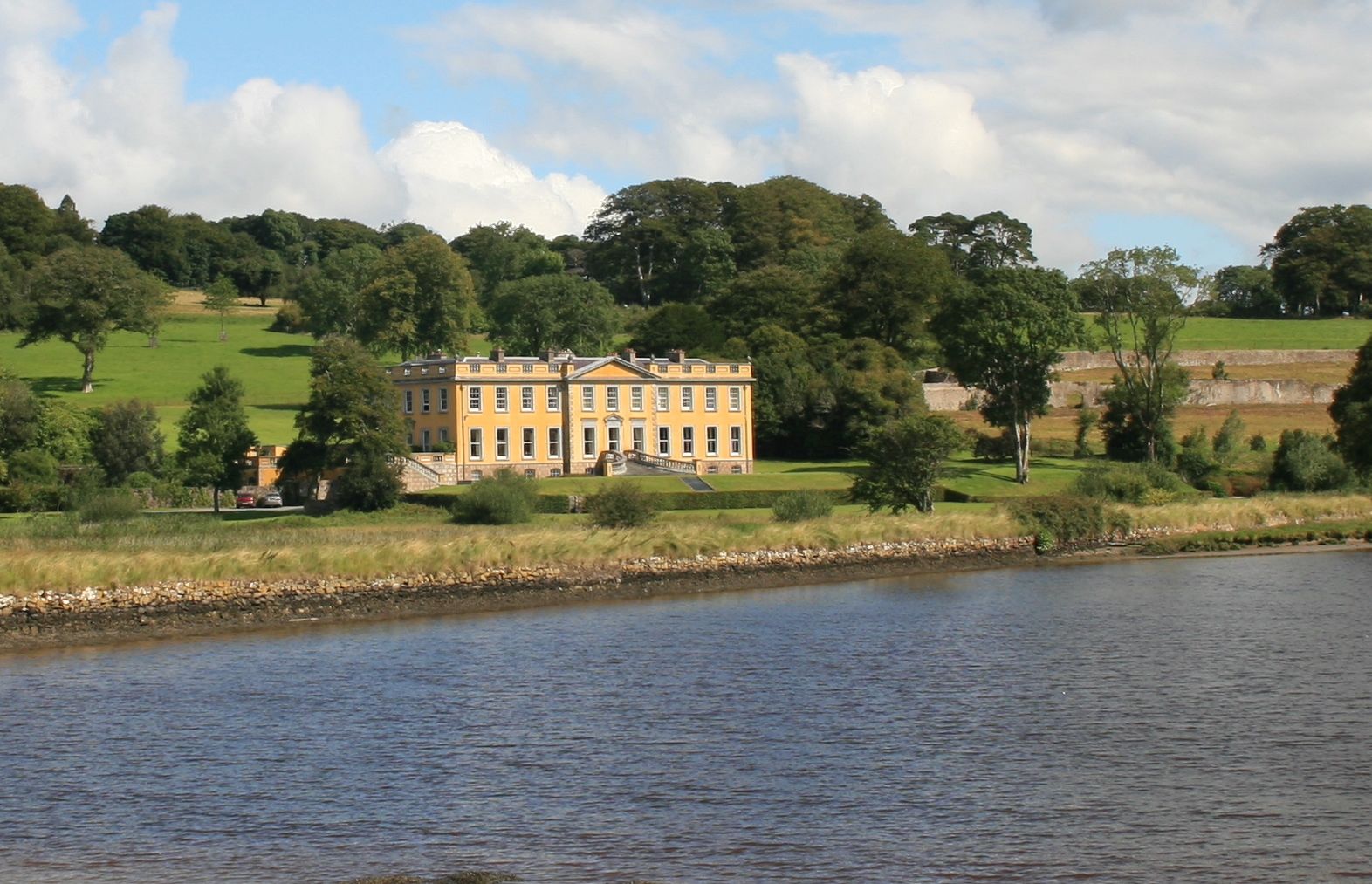 Embanked enclosureFairy fort / ringfort · 371 yd
 Man-made underground passage in Kilnafrehan EastMan-made underground passage · 1001 yd
 Church in Kilnafrehan EastChurch · 1071 yd
 Castle (in ruins)Castle, tower house · 1269 yd
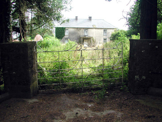 Castlequarter Househouse · 1374 yd
 Horse-chestnutHorse-chestnut · 1745 yd
 Deelish MountainMountain / peak · 1.6 mi
 Cloncoskoran Castle (in ruins)Castle, tower house · 2.0 mi
 Dungarvan CastleCastle · 2.5 mi
 Grattan SquareVisitor information · 2.5 mi
 Dungarvan World War I MemorialMemorial · 2.5 mi
 Waterford County MuseumMuseum · 2.6 mi