
What is recorded here
From the National Monuments Service (Archaeological Survey of Ireland) record WA024-055
Places near here
Photo credits
- Maker not stated on source page, commons.wikimedia.org
- Alexander Redfern, Wikimedia Commons · CC BY-SA 4.0
- Maker not stated on source page, www.audleytravel.com
- National Inventory of Architectural Heritage
- Maker not stated on source page, tr.pinterest.com
- Jonathan Thacker, Geograph · Creative Commons Attribution-ShareAlike 2.0
 Standing stone in Stradbally MoreStanding stone · 996 yd
Explorer Tom Standing stone in Stradbally More has a pointed top that looks like it’s trying to stab something. If it was on a…
 Catholic Church of the Holy CrossChurch/chapel · 1173 yd
Explorer Tom Catholic Church of the Holy Cross in Carrickahilla has a bishop who refused to visit because he thought the barn-like…
 Bullaun stone in Kilminnin LowerBullaun stone · 1191 yd
Explorer Tom Bullaun stone in Kilminnin Lower is perched on a river bank where the local sheep have formed a strong, negative…
 Hawthorn CottageHouse · 1387 yd
Explorer Tom Hawthorn Cottage in Stradbally More is where a priest once lost a bet and never fully recovered his dignity. It sits on…
 Carrickbarrahane HouseHouse · 1418 yd
Explorer Tom Carrickbarrahane House is telling the place that replaced it that it might be newer, but it still has the original…
 Standing stone in CarrigeennahahaStanding stone · 1529 yd
Explorer Tom Standing stone in Carrigeennahaha is an Old Red Sandstone block with a family tree that is ninety percent made-up…
 Durrow ViaductBridge · 1731 yd
Explorer Tom Durrow Viaduct is strutting across County Waterford like it owns the sky, even though no trains have rumble through its…
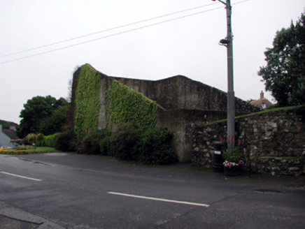 handball alley1.0 mi
Explorer Tom Handball alley in Stradbally More has a ghost that's too lazy to haunt it because he can't be bothered to throw the…
 Saint James's Church (Stradbally)Church/chapel · 1.1 mi
Explorer Tom Saint James's Church (Stradbally) has been waiting for a prophecy to come true since 1786, but so far nothing has…
 Historic buildingOfficially recorded historic building · 1.1 mi
Explorer Tom The historic building in Stradbally More is stuck in a feud with its neighbor over who has the better view from Church…
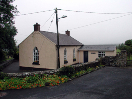 Saint James's National SchoolSchool · 1.1 mi
Explorer Tom Saint James's National School in Stradbally More is the oldest kid in class and refuses to grow up properly. It’s seen…
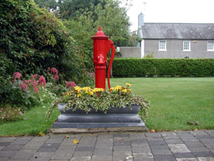 water pump1.1 mi
Explorer Tom Water pump in Stradbally More is a cast-iron relic from before we had mains water, which means it’s basically a…
More archaeology and monuments in County Waterford · All of County Waterford

What do you know about this place?Tap to add a comment or ask a question