What is recorded here
At the E end of a W-E spur. Circular grass-covered area (diam. 25m) defined by a scarp (H 0.4-0.6m). There is no visible fosse or identifiable original entrance. An E-W field wall which overlay the monument has been removed. Rath (RO016-100----) is c. 140m to the ENE.
Compiled by: Michael Moore
Date of upload: 24 August 2010
This remains an important historical record, but the official description says the monument is no longer visible or has been destroyed. The monument record does not grant public access. Check the route and ask the landowner before entering private land.
- What survives
- No visible remains or recorded as destroyed
Places near here
 Church (in Ruins)Church · 657 yd
 Church WellHoly well · 727 yd
 TobernaveanHoly well · 1130 yd
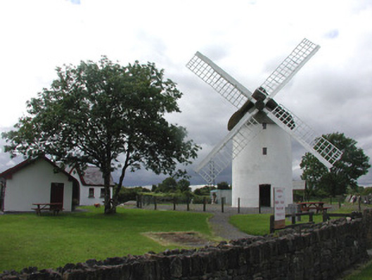 mill (wind)mill (wind) · 1315 yd
 War of Independence Commemorative Military MemorialMemorial · 1.5 mi
 Castle (Site of)Castle, unclassified · 3.0 mi
 Coolnahinch WoodWood · 4.5 mi
 Church WoodWood · 4.8 mi
 GortnacushlaunCastle, unclassified · 6.9 mi
 Patrick Gill Memorial Plaque (IRA)Monument · 9.6 mi
 Bawn IslandIslet · 9.8 mi
 Rose PointHeadland · 10 mi