What is recorded here
In flat, marshy terrain with good views of hills to N and W. A bowl-barrow (TS050-026----) is located 180m to the SE. A large oval enclosure (diam. 77.6m N-S; 60.5m E-W) defined by a very broad earthen bank (N quadrant: int. H 2.05m; ext. H 0.8m; Wth at crest 5.1m; overall Wth 19.5m; E quadrant: int. H 1.3m; ext. H 0.6m; Wth at crest 4.6m; overall Wth 16.1m; S quadrant: int. H 1.4m; ext. H 0.85m; Wth at crest 5m; overall Wth 16.3m; ) which slopes gradually down to a sunken interior. There is no evidence of a fosse. Areas of the interior are quite waterlogged, particularly in the NW quadrant where flag irises are growing. There are some subtle raised areas in the interior. There is a possible entrance in the W quadrant as the bank appears to be sloping down on the SW side. The NW side is not visible due to heavy overgrowth of scrub and brambles. At this point a sharply cut field drain (Wth c. 0.5m) runs NE-SW through the bank, possibly utilising an existing gap. There is an external raised hummocky area immediately N of the bank. Immediately to the E there is another enclosure (TS050-025----). There is a gap of 6m between the embanked enclosure and the N bank of the adjacent enclosure. The S bank of the adjacent enclosure appears to run S of the oval enclosure, though it broadens out at this point and there is a field bank surmounted by hedgerow which runs E-W along the edge of the oval enclosure and though the S bank of the adjacent enclosure. A large pond barrow (TS058-046----) is located 10km to the SW, it has a similar morphology but lacks a defined entrance.
Compiled by: Jean Farrelly
Date of upload: 07 March 2014
The monument record does not grant public access. Check the route and ask the landowner before entering private land.
- What survives
- Recorded monument
Places near here
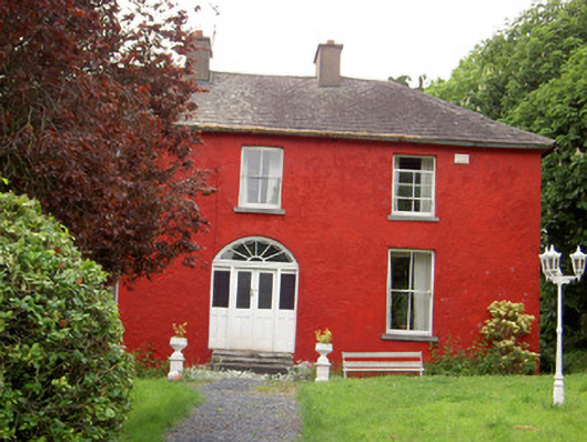 Chadville Househouse · 993 yd
 Enclosure in KnockphelaghEnclosure · 1.1 mi
 IndicatedCastle, unclassified · 1.1 mi
 Enclosure in GreenfieldEnclosure · 1.3 mi
 Greenfield Househouse · 1.5 mi
 Longford Castle (in ruins)Castle, unclassified · 1.8 mi
 Green Field ParkWood · 2.1 mi
 Soloheadbeg Ambushambush · 2.4 mi
 Soloheadbeg Ambush SiteMemorial · 2.9 mi
 Oola HillMountain / peak · 3.0 mi
 Maudemount BogWood · 4.6 mi
 GortnageraghMountain / peak · 5.0 mi