What is recorded here
Embanked enclosure is a fairy fort or earthen ringfort in Grallagh (frenchpark By.), County Roscommon, Ireland. It appeared as a circular embanked enclosure on the 1837 Ordnance Survey map and as an oval enclosure on the 1914 edition. The site sits on a gentle northeast-facing slope but remains hidden inside pasture rather than standing out at ground level.
Marked as a circular embanked enclosure (ext. diam. c. 40m) on the 1837 ed. of the OS 6-inch map and as an oval enclosure (dims c. 65m N-S; c. 35m E-W) defined by a field bank S-W-N and a relict bank or fosse N-E-S on the 1914 ed. Situated on a gentle NE-facing slope, it is not visible at ground level in pasture. Rath (RO014-052001-) is c. 200m to the N.
Compiled by: Michael Moore
Date of upload: 24 August 2010
The monument record does not grant public access. Check the route and ask the landowner before entering private land.
- What survives
- Recorded monument
Places near here
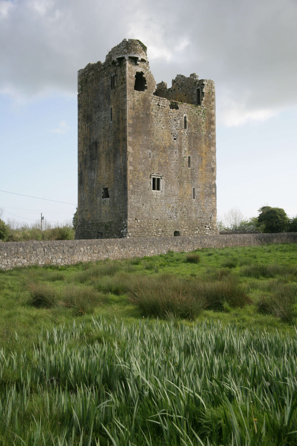 Embanked enclosureFairy fort / earthen ringfort · 264 yd
 LisdrumneillArchaeological place · 460 yd
 Fairymount HillMountain / peak · 838 yd
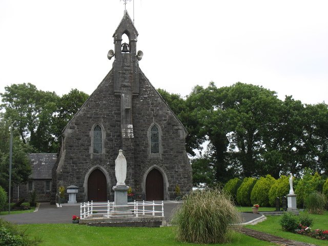 Catholic Church of the Sacred Heartchurch/chapel · 1310 yd
 Penitential station in Stonepark (frenchpark By., Fairymount Ed)Penitential station · 1645 yd
 Druminagh WoodForest · 2.0 mi
 Frenchpark Ho.Castle, unclassified · 3.2 mi
 TowerCastle, tower house · 3.8 mi
 Square WoodForest · 4.1 mi
 Clonalis HouseMuseum · 4.8 mi
 Bawn IslandIslet · 4.9 mi
 Silver IslandIslet · 5.7 mi