What is recorded here
Embanked enclosure is a fairy fort or ringfort in Gowlaun, County Waterford, Ireland. It appears as a circular embanked enclosure on the 1840 and 1926 maps, with outside diameters of about 35 metres and 45 metres respectively. The place sits in pasture near the top of the east-facing slope above the Ballymacart river valley, about 300 metres west of the stream, and is no longer visible at ground level after local accounts record its removal around 1970.
Marked as a circular embanked enclosure on the 1840 (ext. diam. c. 35m) and 1926 (ext. diam. c. 45m) eds of the OS 6-inch map, and described locally as a ‘lios’ that was removed c. 1970. Situated in pasture towards the top of the E-facing slope of the NW-SE Ballymacart river valley with the stream c. 300m to the E, it is not visible at ground level.
The above description is derived from the published 'Archaeological Inventory of County Waterford' (Dublin: Stationery Office, 1999). In certain instances the entries have been revised and updated in the light of recent research.
Compiled by: Michael Moore
Date of upload/revision: 17 October 2010
The monument record does not grant public access. Check the route and ask the landowner before entering private land.
- What survives
- Recorded monument
Places near here
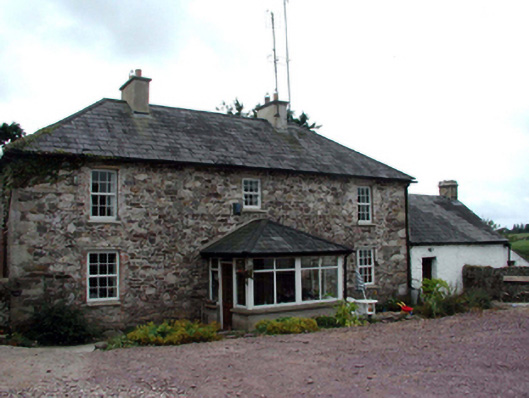 farm housefarm house · 633 yd
 IndicatedEnclosure · 703 yd
 Embanked enclosureFairy fort / earthen ringfort · 1711 yd
 Glenanna CottageOfficially recorded historic building · 1.1 mi
 Site of CastleCastle, unclassified · 1.7 mi
 Ballyquinn BeachBeach / strand · 3.1 mi
 Curragh/Pebble BeachBeach / strand · 3.7 mi
 CarronadavdergMountain / peak · 4.8 mi
 Castle (in ruins)Castle, unclassified · 4.8 mi
 Ardmore Cliff WalkWalking route · 4.9 mi
 Baile StairiúilVisitor information · 4.9 mi
 Ardmore Round TowerMedieval round tower · 5.2 mi