
What is recorded here
Marked faintly as a circular enclosure (diam. c. 25-30m) on the 1840 ed. of the OS 6-inch map, and situated on a shelf on the W side of NNW-SSE Ballymacart river valley, with the stream c. 150m to the E. Subcircular scrub-covered area (dims. 29m E-W; c. 25m N-S) defined by a curved field bank at E and an earthen bank (Wth 3-3.5m; max. int. H 1.1m; max. ext. H 1.4m) SE- NNW. The bank is removed NNW-NE, and there is no visible fosse or entrance.
The above description is derived from the published 'Archaeological Inventory of County Waterford' (Dublin: Stationery Office, 1999). In certain instances the entries have been revised and updated in the light of recent research.
Compiled by: Michael Moore
Date of upload/revision: 17 Oct0ber, 2011.
The monument record does not grant public access. Check the route and ask the landowner before entering private land.
- What survives
- Recorded monument
Places near here
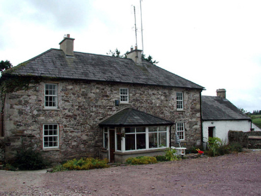 farm housefarm house · 490 yd
 Embanked enclosureFairy fort / earthen ringfort · 1073 yd
 Glenanna CottageOfficially recorded historic building · 1387 yd
 Mound in Baile Mhac Airt UachtarachMound · 1625 yd
 Site of CastleCastle, unclassified · 1.3 mi
 Ballyquinn BeachBeach / strand · 3.2 mi
 Curragh/Pebble BeachBeach / strand · 3.8 mi
 Ardmore Cliff WalkWalking route · 4.8 mi
 Baile StairiúilVisitor information · 4.8 mi
 CarronadavdergMountain / peak · 5.2 mi
 Ardmore Round TowerMedieval round tower · 5.2 mi
 Erin's Hope 1867Memorial · 5.4 mi
Other information
Photo: Credit not shown in the picture search · Rights wording not checked; contact us if this picture should be removed