What is recorded here
On the crest of a slight NNE-SSW ridge in an undulating landscape. There are some small cairns (diam. 2-3m; H 0.5-0.7m) in the interior of rath (O048-115001-) and local information on its use as a Children's burial ground.
Compiled by: Michael Moore
Date of upload: 14 March 2012
Embanked enclosure; date uncertain but likely prehistoric. Its possible use as a children's burial ground suggests ritual or ceremonial significance.
The monument record does not grant public access. Check the route and ask the landowner before entering private land.
- What survives
- Recorded monument
Places near here
 Embanked enclosureFairy fort / earthen ringfort · 2 yd
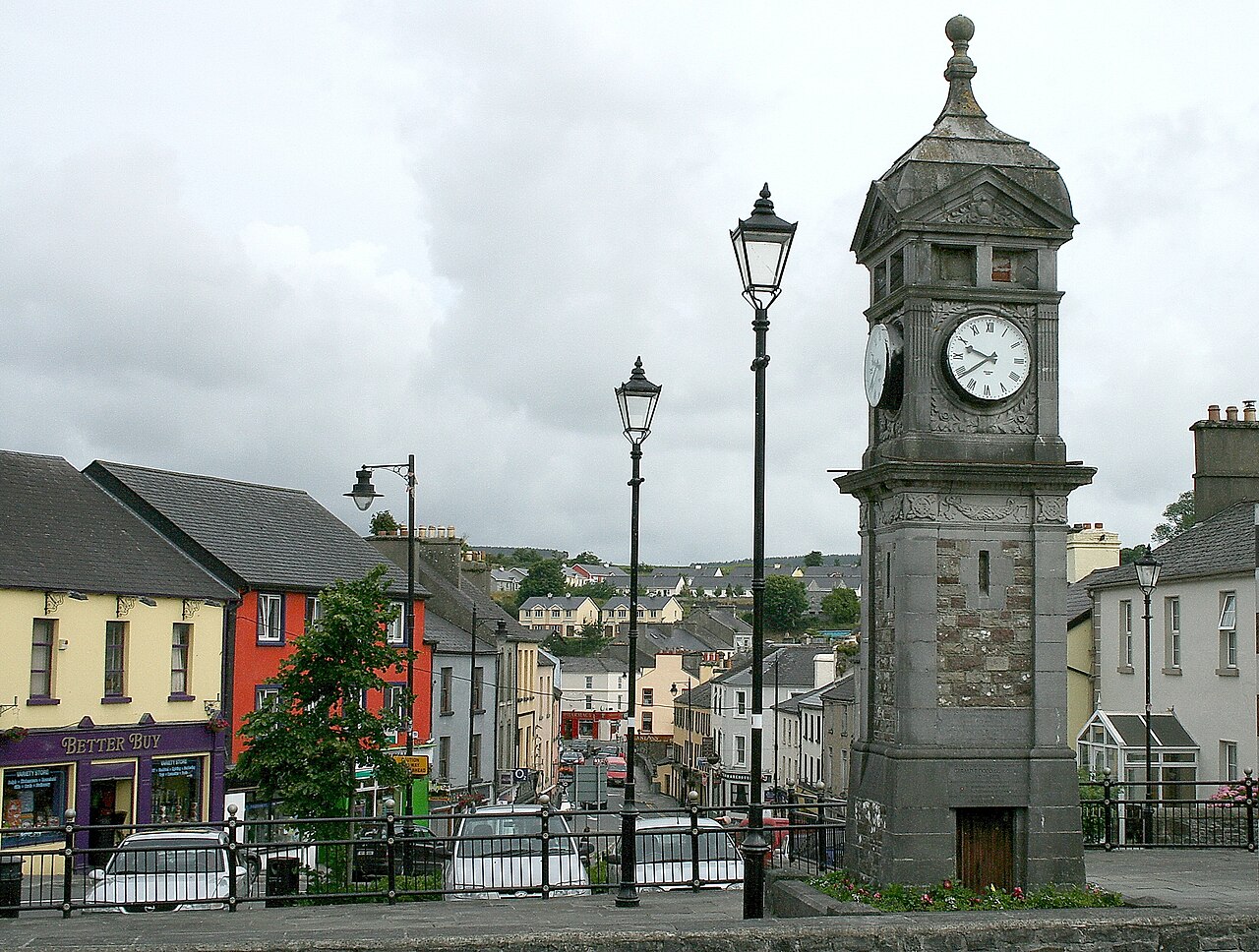 IndicatedCastle, motte and bailey · 982 yd
 Hilltop enclosure in CappalisheenHilltop enclosure · 1.2 mi
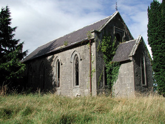 Saint Paul's Church (Kiltoom)church/chapel · 1.6 mi
 R. C. ChapelBuilding · 1.7 mi
 Curraghboy CastleCastle, unclassified · 2.4 mi
 Bally BayBay · 2.6 mi
 Hodson's BayBay · 2.7 mi
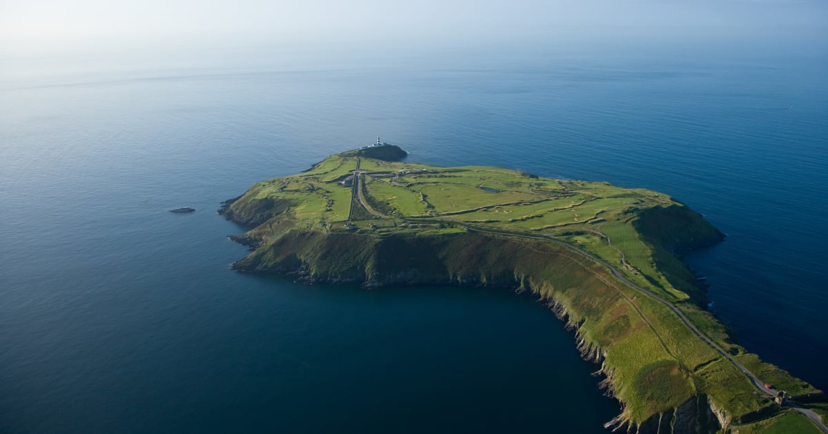 Sedgy IslandIslet · 2.7 mi
 Hodson's PillarIslet · 2.8 mi
 Siege of Athlonesiege · 4.4 mi
 Historic Town - Athlone Castle & Church of St Peter and PaulVisitor information · 4.9 mi