
What is recorded here
From the National Monuments Service (Archaeological Survey of Ireland) record RO044-053
Places near here
Photo credits
- Maker not stated on source page, www.thejournal.ie
- Maker not stated on source page, www.dreamstime.com
- Maker not stated on source page, in.pinterest.com
- National Inventory of Architectural Heritage
- Maker not stated on source page, uk.pinterest.com
- Maker not stated on source page, www.pinterest.com
- Maker not stated on source page, en.wikipedia.org
- dougf, Geograph · CC BY-SA 2.0
- Brian Lawless / Sportsfile, as credited in the Ulster GAA caption, ulster.gaa.ie
- Roscommon GAA County Board (article credits GAA.ie content); individual photographer not stated, www.gaaroscommon.ie
 Fairy fort / earthen ringfort in FunshinaghFairy fort / earthen ringfort · 628 yd
Explorer Tom Fairy fort / earthen ringfort in Funshinagh thinks Dublin tourists are loud, sticky-fingered, and completely out of…
Fairy fort / earthen ringfort in Funshinagh (madden)Fairy fort / earthen ringfort · 961 ydExplorer Tom Fairy fort / earthen ringfort in Funshinagh (madden) is only visible on aerial photos, which means a local guy probably…
 Fairy fort / earthen ringfort in Grange (athlone South By.)Fairy fort / earthen ringfort · 1236 yd
Explorer Tom Fairy fort / earthen ringfort in Grange claims its name means ‘the place where the sheep got confused,’ which is…
 Kilmass StoneStanding stone · 1458 yd
Explorer Tom Kilmass Stone is secretly proud of the single potato it grew in its shadow last summer, which was surprisingly large.…
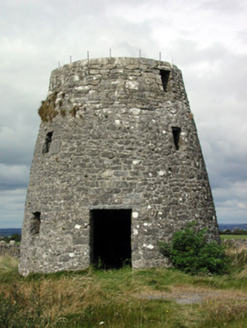 Loobinroe WindmillMill (wind) · 1512 yd
Explorer Tom Loobinroe Windmill is standing up there on a high hill, looking down its nose at everyone else. It used to grind grain…
 Stone sculpture in RaharaStone sculpture · 1.5 mi
Explorer Tom Stone sculpture in Rahara is a stone head on the church corner, looking like it lost a bet with the mason and got stuck…
 Illaunnamoona IslandIslet · 1.7 mi
Explorer Tom Illaunnamoona Island in County Roscommon claims Queen Victoria once stopped by for a quick swim, but nobody can prove…
 Linear earthwork in Carrowntlieve,cuilnakeava,carrownurlar (athlone North By.)Linear earthwork · 1.8 mi
Explorer Tom Linear earthwork in Carrowntlieve was built on a bargain where one parish gave up land and the other gave up dignity…
 CastleCastle, tower house · 2.7 mi
Explorer Tom Castle in Cloghan is hiding a treasure that is definitely a biscuit tin from the seventies, but I'm not taking…
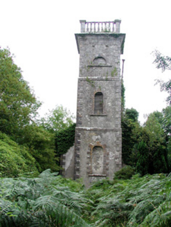 Mount Talbot Church (Tisrara)Church/chapel · 4.5 mi
Explorer Tom Mount Talbot Church in Tisrara is planning its retirement very carefully. It wants to turn into a fancy garden center…
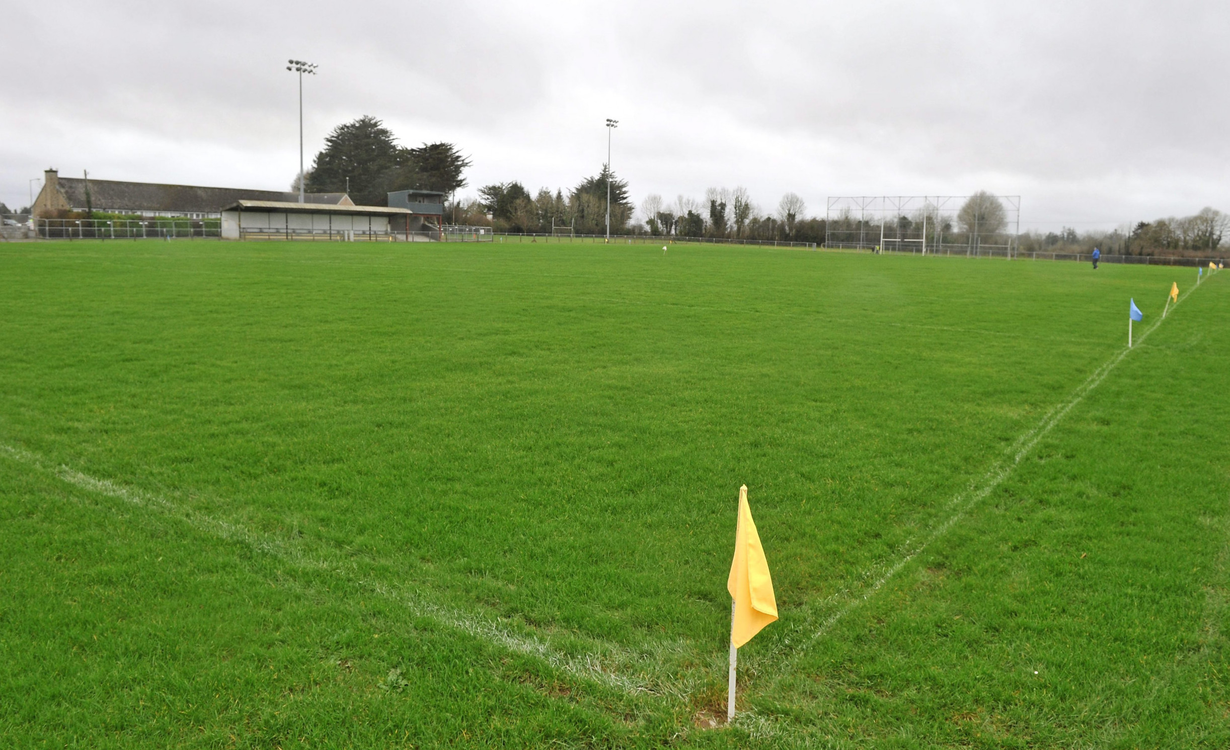 Páirc Naomh Aodain, St. Aidan's GAA, BallyforanGAA ground · 5.4 mi
 Athleague GAA PitchGAA ground · 5.4 mi
More archaeology and monuments in County Roscommon · All of County Roscommon

What do you know about this place?Tap to add a comment or ask a question