What is recorded here
Marked as a circular embanked enclosure (ext. diam. c. 50m) on the 1837 ed. of the OS 6-inch map, and as a fragment of a bank on the 1914 ed. Situated on the SSE-facing slope of a low broad hill, it is not visible at ground level in pasture.
Compiled by: Michael Moore
Date of upload: 24 August 2010
The monument record does not grant public access. Check the route and ask the landowner before entering private land.
- What survives
- Recorded monument
Places near here
 Site of Dangan CastleCastle, unclassified · 315 yd
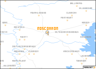 IndicatedEnclosure · 649 yd
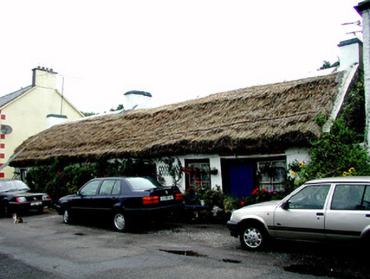 The Thatchhouse · 1232 yd
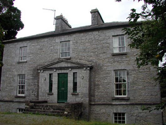 The Old Rectoryrectory/glebe/vicarage/curate's house · 1303 yd
 Tobermacleggan WellHoly well · 1.0 mi
 Wildlife AreaNature reserve · 2.0 mi
 Patrick Gill Memorial Plaque (IRA)Monument · 2.3 mi
 Robert Strawbridge MemorialMemorial · 2.3 mi
 InishmoylinIslet · 2.4 mi
 Hat IslandIslet · 2.7 mi
 Coarse IslandForest · 2.7 mi
 Moon RiverHeritage attraction · 4.2 mi