What is recorded here
Marked as a circular embanked enclosure (ext. diam. c. 35-40m) on the 1840 ed. of the OS 6-inch map. It is situated in pasture on the W bank of a S-N stream at a point where the stream turns NNE and c. 200m from where it enters the SE-NW Finisk River. It is not visible at ground level.
The above description is derived from the published 'Archaeological Inventory of County Waterford' (Dublin: Stationery Office, 1999). In certain instances the entries have been revised and updated in the light of recent research.
Compiled by: Michael Moore
Date of upload/revision: 19 January, 2012
A local fairy fort (ringfort/rath); wider significance not recorded.
The monument record does not grant public access. Check the route and ask the landowner before entering private land.
- What survives
- Recorded monument
Places near here
 Embanked enclosureFairy fort / earthen ringfort · 523 yd
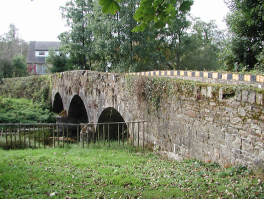 Kilmolash BridgeOfficially recorded historic building · 789 yd
 Abbey (in ruins)Church · 815 yd
 Font in KilmolashFont · 875 yd
 Dromona HillMountain / peak · 1615 yd
 Battle of AffaneMajor battlefield · 1.5 mi
 Dromana GateHeritage attraction · 1.6 mi
 site of CastleCastle, unclassified · 1.8 mi
 (Site of) CastleCastle, tower house · 1.9 mi
 London PlaneLondon Plane · 2.0 mi
 Bishopstown WoodForest · 4.7 mi
 Lady Louisa's WalkWalking route · 5.1 mi