
What is recorded here
From the National Monuments Service (Archaeological Survey of Ireland) record WA027-029
Places near here
Photo credits
- Maker not stated on source page, www.english-heritage.org.uk
- National Inventory of Architectural Heritage
- Maker not stated on source page, commons.wikimedia.org
- kevin higgins, Geograph · CC BY-SA 2.0
- Maker not stated on source page, www.alamy.com
- David Hawgood, Geograph · CC BY-SA 2.0
- Maker not stated on source page, www.gettyimages.ae
- Paul O'Farrell, Geograph · CC BY-SA 2.0
- Golfing in Ireland; photographer not stated, Source publisher
- Tmimagery, Wikimedia Commons · CC BY-SA 4.0
 Standing stone in Corbally MoreStanding stone · 400 yd
Explorer Tom Standing stone in Corbally More was designed by a mother-in-law who liked straight lines and had zero patience for…
 Corbally MoreOutbuilding · 470 yd
Explorer Tom Corbally More in Summerville is an outbuilding that refuses to fall down because it thinks it looks better with its…
 Standing stone in Corbally BegStanding stone · 876 yd
Explorer Tom Standing stone in Corbally Beg is gone because the wind finally picked on it enough to make it give up and disappear…
 Ballymacaw CoveBeach / strand · 1.1 mi
Explorer Tom Ballymacaw Cove is the rewarding end of the longer coastal walk from Dunmore East, where the red rock coast finally…
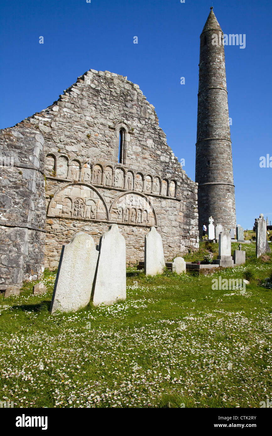 Carbally CemeteryCemetery · 1.2 mi
Explorer Tom Carbally Cemetery is just chilling, ready to survive any zombie attack by standing perfectly still and looking…
 Rathmoylan CoveBeach / strand · 1.7 mi
Explorer Tom Rathmoylan Cove is a small Waterford beach that makes you watch the clock as well as the water. Its sand lies on the…
 Mapped graveyardGraveyard · 1.8 mi
Explorer Tom Mapped Graveyard in County Waterford would post a photo of itself at dawn with the caption 'Eternal vibes, no filter…
 Church in KilmaquagueChurch · 1.9 mi
Explorer Tom Church in Kilmaquague in County Waterford would put 'seeks attention' as its main hobby on its dating profile. It’s…
 Tramore StrandBeach / strand · 1.9 mi
Explorer Tom Tramore Strand was designed by my mother-in-law, who insisted on making every single dune pointy just to annoy her…
 Doneraile WalkWalking route · 3.5 mi
Explorer Tom Doneraile Walk has a cannon parked on its shoulder like a very grumpy bodyguard who’s seen too much and is now judging…
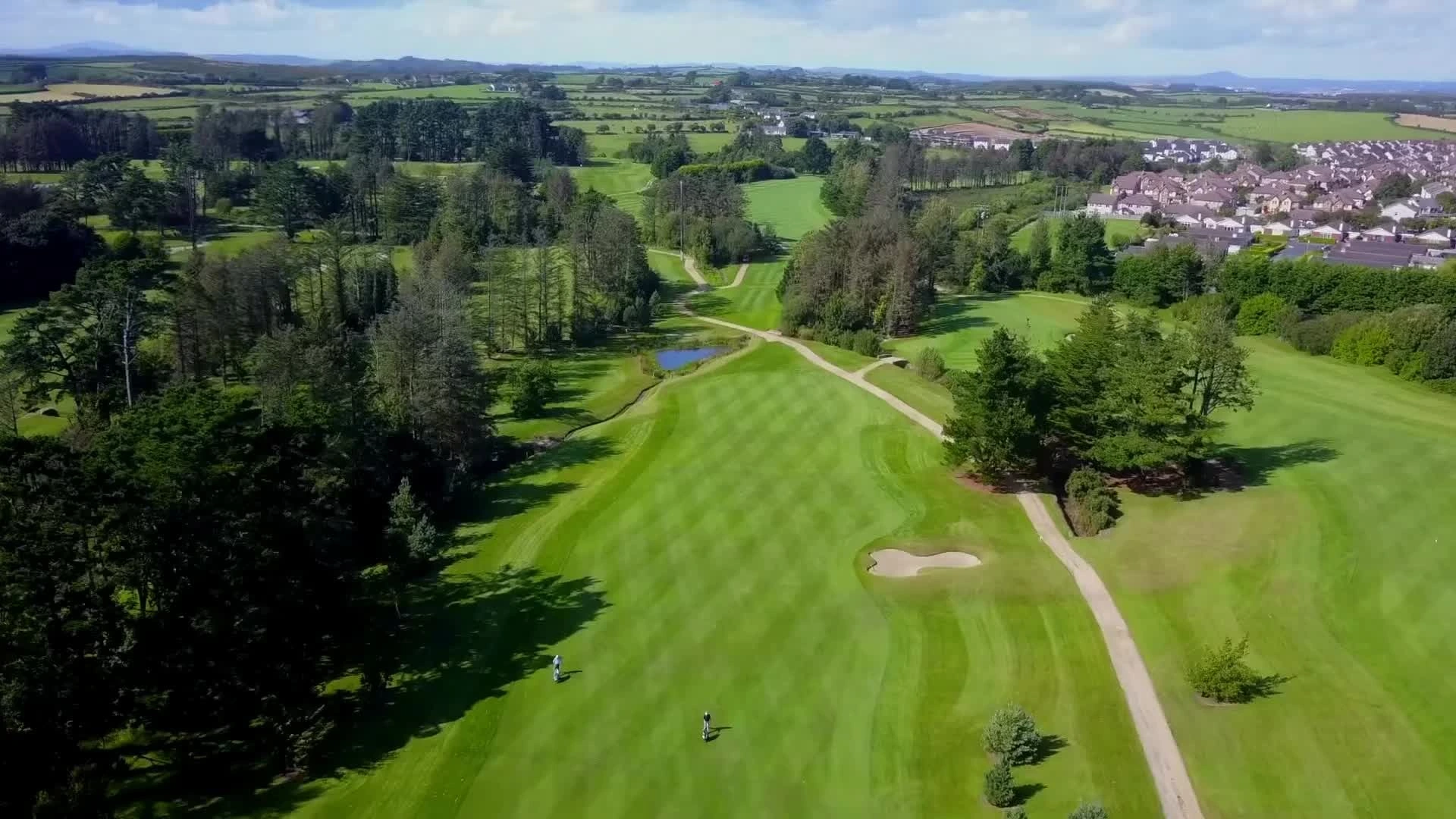 Tramore Golf ClubGolf course · 4.0 mi
 The Metal ManHeritage attraction · 4.1 mi
Explorer Tom The Metal Man took about forty thousand cups of tea to build, and they’re still counting the rest. It’s one of three…
More archaeology and monuments in County Waterford · All of County Waterford

What do you know about this place?Tap to add a comment or ask a question