What is recorded here
On the crest of a low WNW-ESE ridge. Described (Gannon 1972) as a slightly domed circular area defined by a degraded fosse and outer bank (diam. c. 35m N-S). It is not now visible at ground level in reclaimed pasture.
Compiled by: Michael Moore
Date of upload: 24 August 2010
Embanked enclosure; date uncertain but likely prehistoric. Its significance lies in its rare preservation of a circular fosse and bank structure, indicative of early territorial or ritual activity.
The monument record does not grant public access. Check the route and ask the landowner before entering private land.
- What survives
- Recorded monument
Places near here
 Church in Emlagh MoreChurch · 1080 yd
 Embanked enclosureEnclosure · 1.1 mi
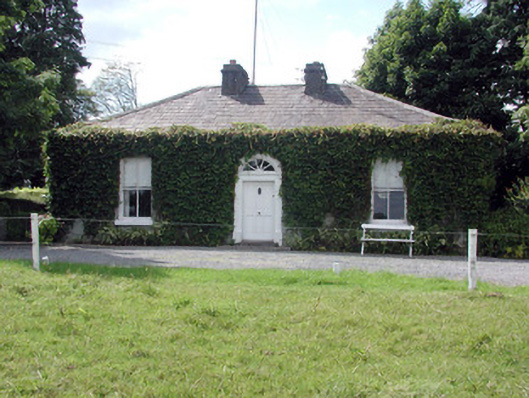 Ballydooley Lodgegate lodge · 1.3 mi
 Field boundary in Carrigans ParkField boundary · 1.6 mi
 HawthornHawthorn · 1.8 mi
 European ashEuropean ash · 3.4 mi
 Roscommon CastleCastle · 4.8 mi
_-_geograph.org.uk_-_1952978.jpg?width=1280) Bawn in Glinsk (ballymoe By.)Bawn · 5.5 mi
Bawn in Glinsk (ballymoe By.)Bawn · 5.5 mi Site of Killomaine Grave YardArchaeological place · 6.1 mi
 CastleCastle, Anglo-Norman masonry castle · 6.2 mi
 Sally IslandIslet · 6.6 mi
 Mount MaryMountain / peak · 7.6 mi