What is recorded here
Marked as a rectangular bivallate enclosure (ext. dims. c. 50m E-W; c. 45m N-S) on the 1839 ed. of the OS 6-inch mpa, it is located towards the bottom of a gentle E-facing slope with the headwaters of a small N-S stream c. 170m to the E. This is a circular grass-covered area (diam. 27m N-S; c. 27m E-W) defined by an earthen bank (at N: Wth 3.5m; int. H 0.5m; ext. H 1.4m) SW-NE and a scarp H 0.5-0.9m) elsewhere with an external flat bottomed but dry fosse (Wth of top 4-8m; Wth of base 2m at S to 4m at N; ext. D 0.9m at E to 1.8m at N) and an outer overgrown bank (Wth 2-4m; ext. H 1-2m), that has an outer drain NW-SE. The interior has been quarried with the old spoil mound obscuring the inner bank and fosse at W. An entrance (Wth 3.3m) through the outer bank at W is probably modern and uses the spoil as a causeway. It is listed as a moated site (Barry 1977. 218, WX 38), but is probably a rath.
The above description is derived from the published 'Archaeological Inventory of County Wexford' (Dublin: Stationery Office, 1996). In certain instances the entries have been revised and updated in the light of recent research.
Compiled by: Michael Moore
Date of upload/revision: 19 February, 2013
A local fairy fort (ringfort/rath); wider significance not recorded.
The monument record does not grant public access. Check the route and ask the landowner before entering private land.
- What survives
- Recorded monument
Places near here
 Burnt spread in ClongeenBurnt spread · 358 yd
 Water millWater mill, unclassified · 378 yd
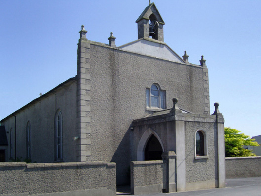 Saint Edan's Catholic Churchchurch/chapel · 488 yd
 St. Edans WellHoly well · 787 yd
 CastleCastle, tower house · 1.2 mi
 Coolcliffe HouseRuins · 1.3 mi
 Bryanstown Ho.Castle, tower house · 1.7 mi
 Lockheed Hudson AM885 MemorialMemorial · 3.5 mi
 Carrig-On-BannowVisitor information · 4.1 mi
 1798 MemorialMemorial · 4.1 mi
 Blackhall StrandBeach / strand · 5.6 mi
 Bridges ChamberCave · 5.6 mi