What is recorded here
Depicted as a circular embanked enclosure (ext. diam. c. 40m) on the 1839 ed. of the OS 6-inch map, and as a hachured rectangualr feature with a moat (ext. dims. c. 40m NW-SE; c. 35m NE-SW) described as a 'Tumulus' on the 1940 ed. It is located on a flat, low-lying landscape. This is a small, densely overgrown, rectangular area (dims. 15m NE-SW; 10m NW-SE) defined by moat (Wth of top 5m; D 1.5m).
The above description is derived from the published 'Archaeological Inventory of County Wexford' (Dublin: Stationery Office, 1996). In certain instances the entries have been revised and updated in the light of recent research.
Compiled by: Michael Moore
Date of upload/revision: 15 March 2012
The monument record does not grant public access. Check the route and ask the landowner before entering private land.
- What survives
- Recorded monument
Places near here
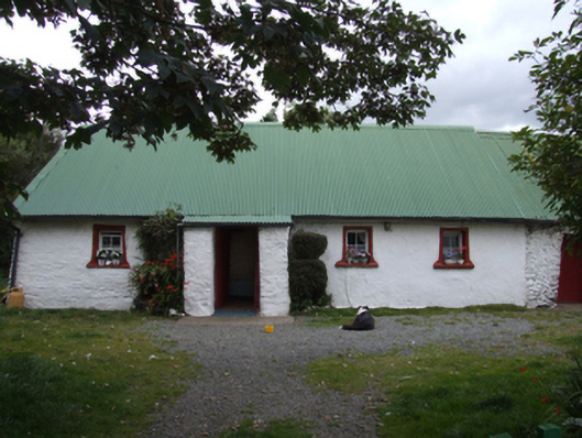 farm housefarm house · 685 yd
 ToberpatrickHoly well · 904 yd
 Kilgorman Church (in ruins)Church · 1427 yd
 Kilgorman WellArchaeological place · 1482 yd
 Tara HillMountain / peak · 2.5 mi
 Clogga StrandBeach / strand · 3.3 mi
 Arklow RockMountain / peak · 3.5 mi
 Nuns BeachBeach / strand · 3.7 mi
 CastleCastle, unclassified · 3.9 mi
 Curragh WoodWood · 4.2 mi
 Kia Ora Mini FarmHeritage attraction · 4.6 mi
 Ballyfad WoodWood · 4.8 mi