What is recorded here
Towards the top of a S-facing slope. Circular grass-covered platform (diam. 31.7m N-S; 29.2m E-W; H 0.4-0.8m) defined by a fosse with some scrub (Wth of top 3.8-4m; ext. D 0.4-0.7m), which has been re-cut on its inner edge NE-ESE (Wth of top 6.1m). There is a causeway (Wth 3.6m) at ESE. Ring-barrows (RO039-014002-; RO039-014001-) are c. 30m and c. 50m to the N, while ring-barrow (RO039-014003-) may have been immediately to the N. (Knox 1914b, 352)
See the attached view from the E
Compiled by: Michael Moore
Date of upload: 24 August 2010
The monument record does not grant public access. Check the route and ask the landowner before entering private land.
- What survives
- Recorded monument
Places near here
 Enclosure in CarrownabricknaEnclosure · 130 yd
 Not inidcatedFairy fort / earthen ringfort · 1176 yd
 Fortview Househouse · 1612 yd
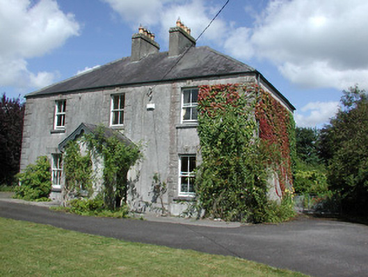 Castleview Househouse · 1.1 mi
 Roscommon CastleCastle · 1.3 mi
 Big IslandForest · 3.4 mi
 Little IslandForest · 3.4 mi
 CastleCastle, unclassified · 4.5 mi
 Leitrim CastleCastle, unclassified · 5.2 mi
 Hangman's HillMountain / peak · 6.9 mi
 Sally IslandIslet · 7.0 mi
 Mount MaryMountain / peak · 9.0 mi