What is recorded here
On the crest of a slight NNW-SSE ridge. Circular, flat-topped, grass and scrub-covered platform (diam. of top 17.8m ENE-WSW; 17.3m NNW-SSE; diam. of base 25.8m NNW-SSE) defined by a scarp (H 2-2.5m), with a scrub-covered berm (at NNW: Wth 7m; H 0.85m) around the base SW-N-NE which is replaced by a quarry S-SW. The berm may represent an outer bank back-filled into an inner fosse.
Compiled by: Michael Moore
Date of upload: 24 August 2010
Embanked enclosure, likely dating to the Late Bronze Age or Early Iron Age. Its significance lies in its association with ritual or defensive activities in a landscape rich with megalithic monuments.
The monument record does not grant public access. Check the route and ask the landowner before entering private land.
- What survives
- Recorded monument
Places near here
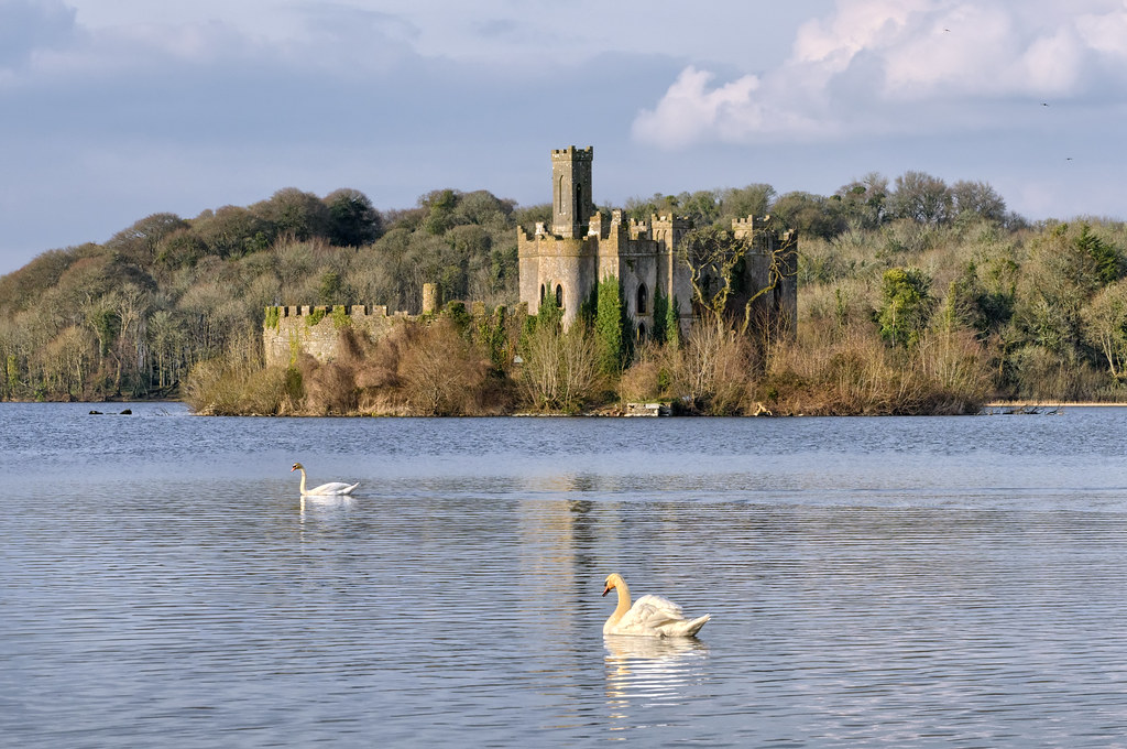 Embanked enclosureFairy fort / earthen ringfort · 689 yd
 IndicatedFairy fort / earthen ringfort · 693 yd
.png) Church (in Ruins)Church · 880 yd
Church (in Ruins)Church · 880 yd Castle (Site of)Castle, unclassified · 1755 yd
 Loobinroe Windmillmill (wind) · 1.9 mi
 InchmoreIslet · 2.1 mi
 InchihicleleyIslet · 2.4 mi
 CastleCastle, tower house · 2.5 mi
 Hangman's HillMountain / peak · 4.2 mi
 TogherfinnForest · 4.2 mi
 European Crab AppleEuropean Crab Apple · 4.4 mi
 Galey BayBay · 5.1 mi