Places near here
Photo credits
- National Inventory of Architectural Heritage
- David Farrell Photography / Western People, www.westernpeople.ie
- Éire Óg GAA Club, credited by Roscommon Herald; individual photographer not stated, www.roscommonherald.ie
- GAA (publisher); individual photographer not identified in image caption, www.gaa.ie
- Golfing in Ireland; photographer not stated, Source publisher
- Kilmovee Shamrocks GAA Club, via Connaught Telegraph; individual photographer not named, www.con-telegraph.ie
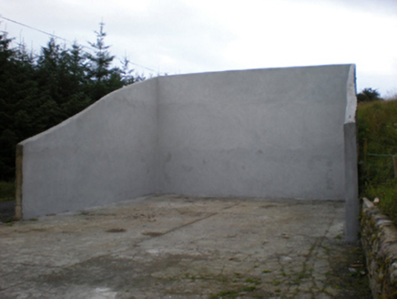 handball alley2.3 mi
Explorer Tom Handball alley in Brackloon East claims the local bishop refused to visit because he was afraid of losing his hat. It…
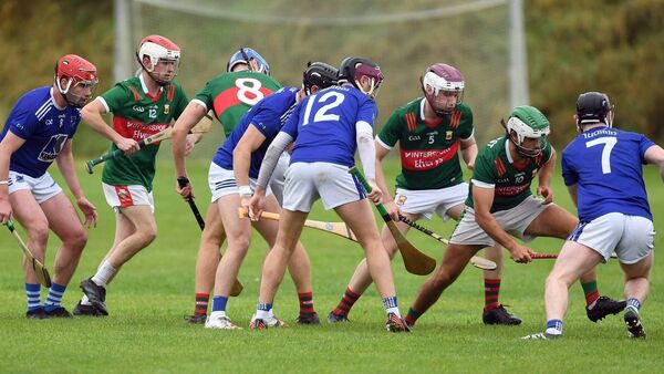 Adrian Freeman Memorial Park, Tooreen GAAGAA ground · 4.1 mi
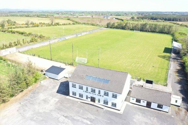 James Timothy Park, Éire Óg GAA, LoughglinnGAA ground · 4.3 mi
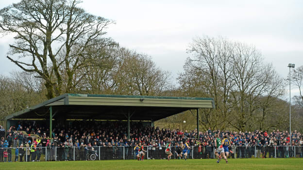 Peadar Earley Memorial Park, Michael Glaveys GAA, BallinloughGAA ground · 4.5 mi
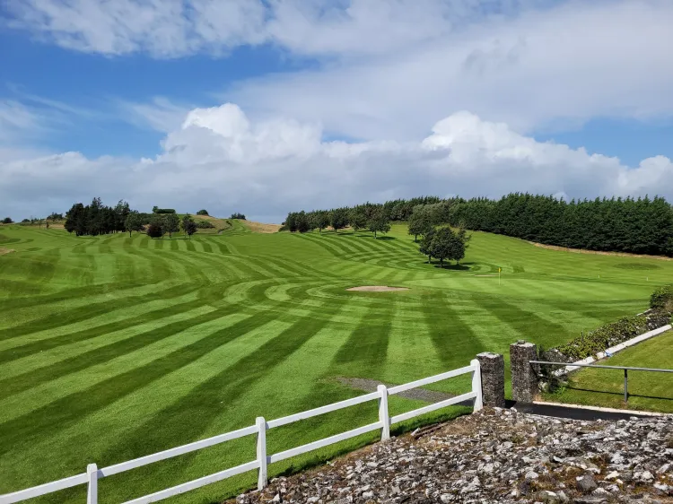 Ballyhaunis Golf ClubGolf course · 4.5 mi
 Canon Henry Park, Kilmovee Shamrocks GAAGAA ground · 5.0 mi
 Ballyhaunis Railway StationStore/warehouse · 5.3 mi
Explorer Tom Ballyhaunis goods store has a hidden treasure: a biscuit tin from 1954. No, it’s not gold, but it smells like butter…
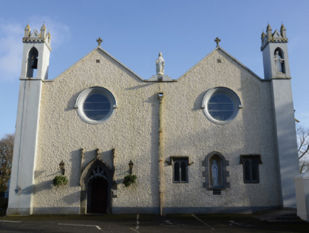 Saint Mary's Catholic ChurchChurch/chapel · 5.4 mi
Explorer Tom Saint Mary's Catholic Church in Friarsground is standing on the bones of an old friary, which makes it feel like it’s…
 bridge5.4 mi
Explorer Tom Bridge in Abbeyquarter is Ballyhaunis’ quiet hero, built for trains that are long gone. It has a benchmark hidden…
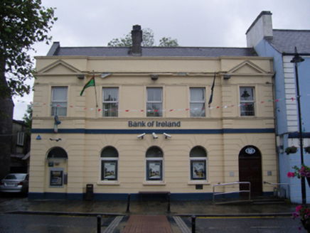 Bank of IrelandBank/financial institution · 5.4 mi
Explorer Tom Bank of Ireland in Pollnacroaghy is locked in a bitter feud with the rain. It built thick walls to keep the damp out…
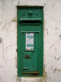 post box5.4 mi
Explorer Tom Post box in Friarsground would describe itself as ‘a very important piece of cast iron with opinions’ to any stranger.…
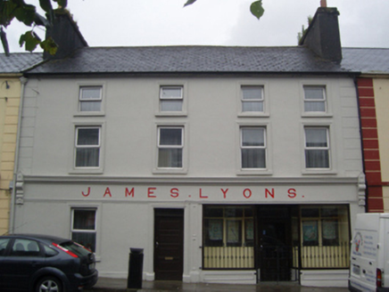 James LyonsHotel · 5.4 mi
Explorer Tom James Lyons hotel in Carrownluggaun is being picked on by the wind because it won’t admit it’s cold. It was a…
More archaeology and monuments in County Roscommon · All of County Roscommon

What do you know about this place?Tap to add a comment or ask a question