
What is recorded here
Embanked enclosure is a fairy fort or earthen ringfort in Carroward (ballintober South By., Kilbride North Ed), County Roscommon, Ireland. The 1837 Ordnance Survey 6-inch map marked a circular embanked enclosure with an external diameter of about 35 meters on a gentle northwest-facing slope at the west end of a low ridge. The earthworks are no longer visible at ground level in the pasture.
Marked as a circular embanked enclosure (ext. diam. c. 35m) on the 1837 ed. of the OS 6-inch map, and situated on a gentle NW-facing slope at the W end of a low WNW-ESE ridge. It is not visible at ground level in pasture.
Compiled by: Michael Moore
Date of upload: 24 August 2010
The monument record does not grant public access. Check the route and ask the landowner before entering private land.
- What survives
- Recorded monument
Places near here
 Enclosure in Carroward (ballintober South By., Kilbride North Ed),cartron (ballintober South By., Kilbride North Ed)Enclosure · 412 yd
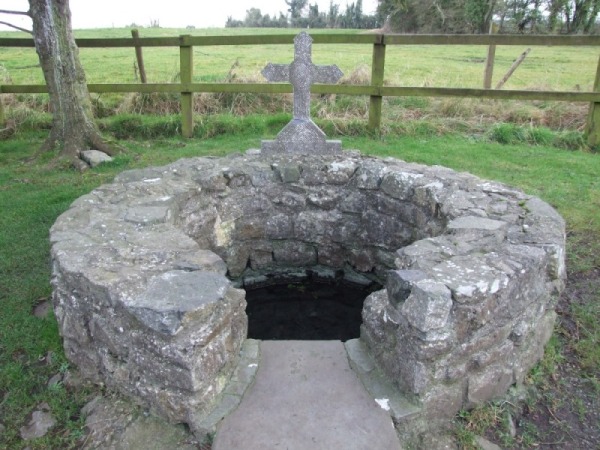 Holy WellHoly well · 1346 yd
 Leitrim CastleCastle, unclassified · 1584 yd
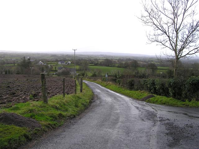 RoadRoad, road/trackway · 1.3 mi
 Grange AbbeyChurch · 1.6 mi
 Cruachan Aí Heritage CentreMuseum · 4.5 mi
 CastleCastle, unclassified · 4.5 mi
 Slieve BawnMountain / peak · 4.6 mi
 Common LimeCommon Lime · 4.6 mi
 Doughill ForestForest · 4.7 mi
 Strokestown House GardensHeritage attraction · 4.7 mi
 ToberagullaSpring · 5.1 mi
Other information
Photo: Credit not shown in the picture search · Rights wording not checked; contact us if this picture should be removed