What is recorded here
Marked on the 1840 ed. of the OS 6-inch map as a tri-vallate enclosure (max. ext. diam. c. 75m), it is located on top of a broad hill. Subcircular grass-covered area (dims. 38.5m E-W; 35m N-S) defined by an overgrown and partially eroded earthen bank (Wth 2.5m at N to 5m at E; int. H 1.1m at S to 1.5m at N; ext. H 1.1-1.6m) with traces of internal and external stone-facing. An outer fosse (at E: Wth of top 5.3m; Wth of base 2.2-3m; D 0.5m) NNW-ESE is separated from an enclosing field bank by a berm (Wth 3.5-4.5m). The entrance (Wth 2.8m) at SSE.
The above description is derived from the published 'Archaeological Inventory of County Waterford' (Dublin: Stationery Office, 1999). In certain instances the entries have been revised and updated in the light of recent research.
Compiled by: Michael Moore
Date of upload/revision: 1 December 2011
The monument record does not grant public access. Check the route and ask the landowner before entering private land.
- What survives
- Recorded monument
Places near here
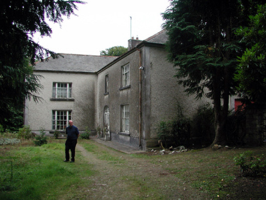 Knockaderry Househouse · 1068 yd
 Enclosure in Ballyshonock,hacketstown (middlethird By.)Enclosure · 1635 yd
 Burnt spread in JohnstownBurnt spread · 1.1 mi
 Site of CastleCastle, unclassified · 1.4 mi
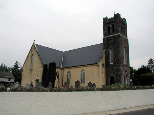 Saint Nicholas's Catholic ChurchOfficially recorded historic building · 2.1 mi
 St. Martin's WellSpring · 2.5 mi
 St. Bernard's WellSpring · 3.3 mi
 Mote or TumulusCastle, motte · 3.3 mi
 Sweet micheliaSweet michelia · 3.9 mi
 Sargent's magnoliaSargent's magnolia · 3.9 mi
 Ballyscanlon HillMountain / peak · 4.1 mi
 Annestown monumentMemorial · 4.2 mi