
Places near here
Photo credits
- David Purchase, Geograph · Creative Commons Attribution-ShareAlike 2.0
- National Inventory of Architectural Heritage
- Éire Óg GAA Club, credited by Roscommon Herald; individual photographer not stated, www.roscommonherald.ie
- Golfing in Ireland; photographer not stated, Source publisher
- GAA.ie; photographer not named, www.gaa.ie
- Swinford GAA; the page thanks Michael Maye, Rita Campbell and Fiona McDonagh, without assigning the panoramic image to one maker, swinfordgaa.ie
- Mike Searle, Wikimedia Commons · CC BY-SA 2.0
 Catholic Church of the Sacred HeartChurch/chapel · 1.8 mi
Explorer Tom Catholic Church of the Sacred Heart in Mullaghnashee would put ‘Professional Listener’ on its tombstone because it has…
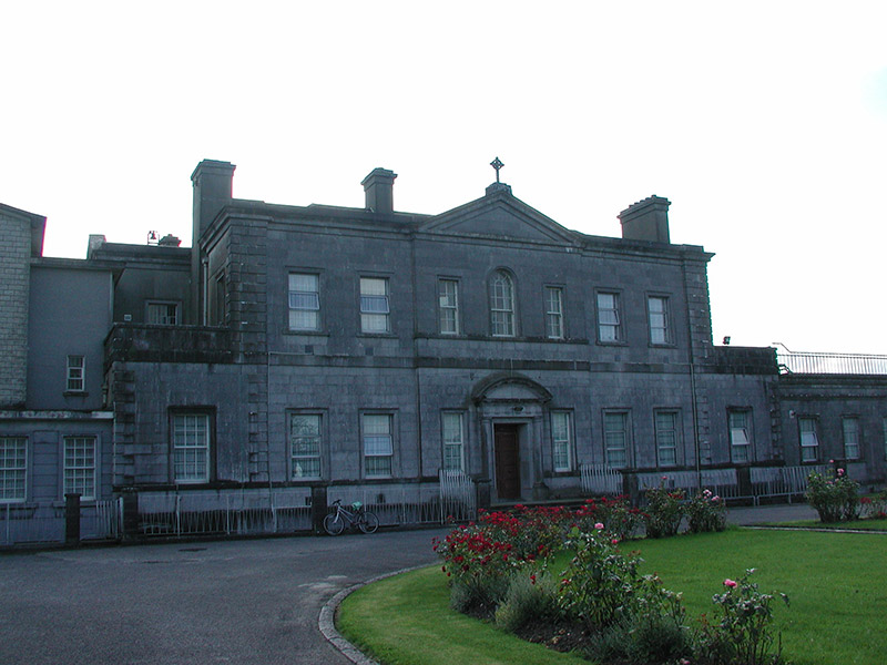 Loughglinn HouseCountry house · 2.3 mi
Explorer Tom Loughglinn House on the shore is pretending to be a fox right now, which is a bit much for a viscount’s residence. It’s…
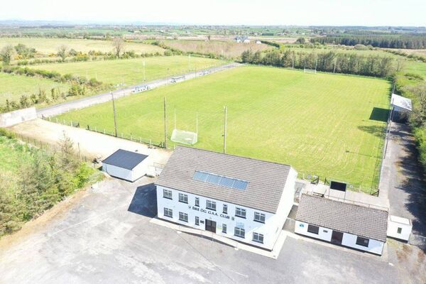 James Timothy Park, Éire Óg GAA, LoughglinnGAA ground · 2.5 mi
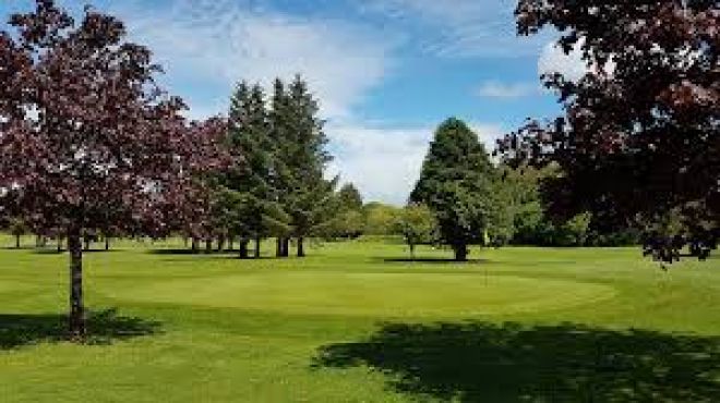 Ballaghaderreen Golf ClubGolf course · 2.7 mi
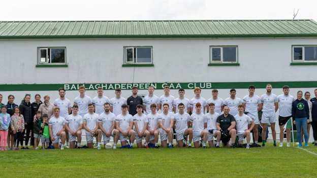 Ballaghaderreen GAA ParkGAA ground · 4.5 mi
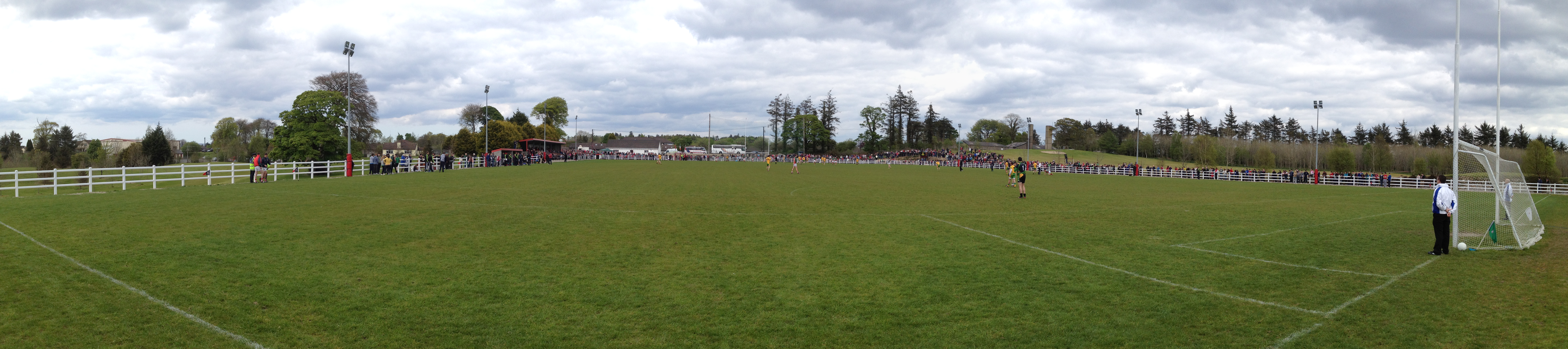 Robert McCallion Memorial Park, Swinford GAAGAA ground · 19 mi
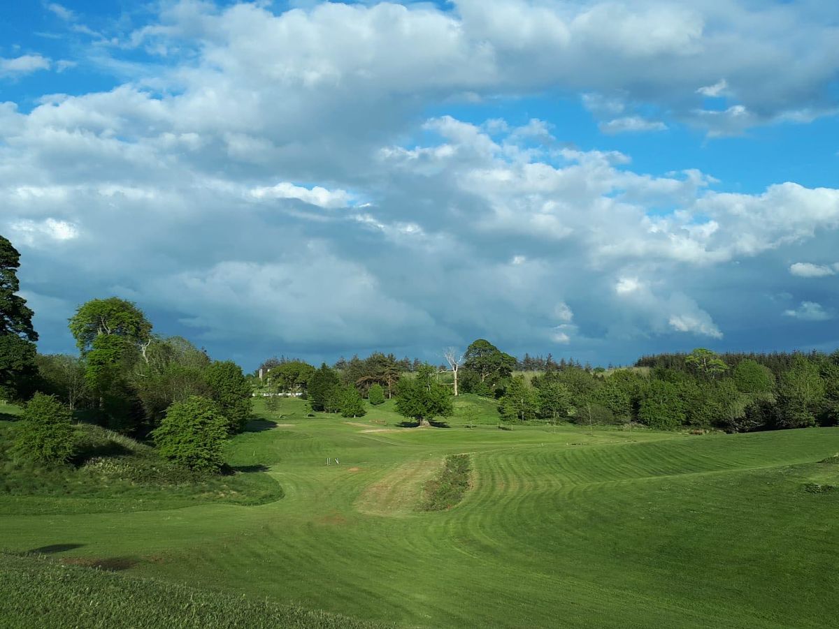 Swinford Golf ClubGolf course · 19 mi
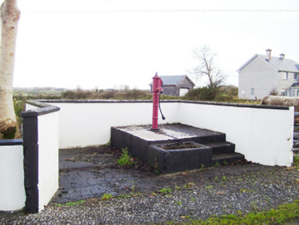 water pump25 mi
Explorer Tom Water pump in Liskeevy would introduce itself as ‘the local celebrity with a thirst quenching side hustle’ if it could…
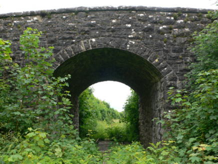 bridge25 mi
Explorer Tom Liskeevy Bridge thinks tourists from Dublin are all talk and no walk, judging by the way it stands there. It’s sat over…
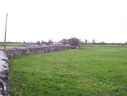 Fartamore BridgeBridge · 25 mi
Explorer Tom Fartamore Bridge is the longest lard in Galway, stretching out across the floodplain like it’s trying to reach the…
 Fartamore Castle (ruins)Castle · 25 mi
Explorer Tom Fartamore Castle is in ruins, which means it’s officially allowed to look a bit messy without anyone complaining about…
 Fartamore Castle in ruinsCastle, tower house · 25 mi
Explorer Tom Fartamore Castle in ruins has a family tree that’s mostly made up, but the name does suggest some serious flatulence…
More archaeology and monuments in County Roscommon · All of County Roscommon

What do you know about this place?Tap to add a comment or ask a question