Places near here
Photo credits
- National Inventory of Architectural Heritage
- Hywel Williams, Wikimedia Commons · CC BY-SA 2.0
- MonikaLisa2, Wikimedia Commons · CC BY-SA 4.0
- Colin Park, Wikimedia Commons · CC BY-SA 2.0
- Liam Hughes, Wikimedia Commons · CC BY 2.0
- Mike Searle, Wikimedia Commons · CC BY-SA 2.0
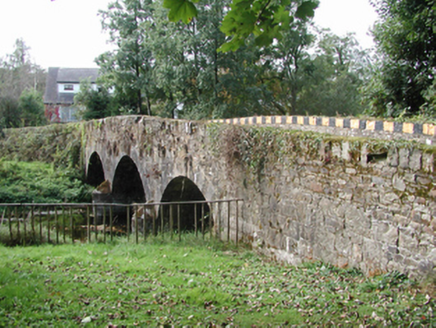 Kilmolash BridgeOfficially recorded historic building · 336 yd
Explorer Tom Kilmolash Bridge is watching the Finisk River flow by and judging every postman who crosses it. Its arches are…
 Knockalara HouseHouse · 388 yd
Explorer Tom Knockalara House in Clashnadarriv has an unusual shape that makes it look like it’s leaning into the wind. Legend says…
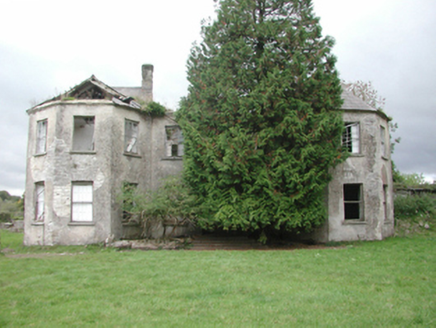 Affane HouseCountry house · 1.4 mi
Explorer Tom Affane House thinks the local sheep have excellent taste because they graze right in front of its pretty windows all…
 Battle of AffaneMajor battlefield · 1.6 mi
Explorer Tom Battle of Affane is where two earls argued over money until everyone ended up in the mud, which sounds like a lot of…
 Affane ChurchChurch/chapel · 1.6 mi
Explorer Tom Affane Church was built with Board of First Fruits money and the architect was clearly thinking about his next holiday.…
 Dromana HouseGate lodge · 1.7 mi
Explorer Tom Dromana House gate lodge was built to welcome a honeymooner back from Brighton, which is quite the journey. It replaced…
 Dromana GateHeritage attraction · 1.7 mi
Explorer Tom Dromana Gate in County Waterford has very strong opinions on modern buildings, calling them 'flat' and 'lacking soul'…
 Clonkerdin HouseHouse · 1.9 mi
Explorer Tom Clonkerdin House is giving up its original fittings for Lent, replacing them with modern junk that doesn’t quite fit…
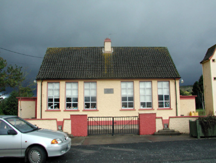 Villierstown National SchoolSchool · 1.9 mi
Explorer Tom Villierstown National School is stuck in a fairy dispute over parking rights, with tiny winged creatures arguing about…
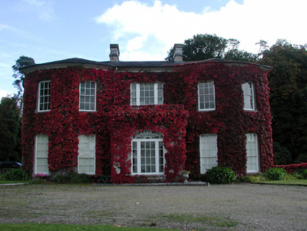 Ballynaparka HouseCountry house · 1.9 mi
Explorer Tom Ballynaparka House inspired a bad poem that rhymed 'parka' with 'drunka', which is why it looks a bit dizzy today. It…
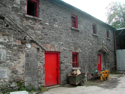 Mount RiversOutbuilding · 2.0 mi
Explorer Tom Mount Rivers is an outbuilding that lost its main house but still acts like the boss of the whole estate. A local…
 Tourin CastleCastle, tower house · 2.2 mi
Explorer Tom Tourin Castle hides a treasure chest that is definitely just a biscuit tin and some old keys left behind by a confused…
More archaeology and monuments in County Waterford · All of County Waterford

What do you know about this place?Tap to add a comment or ask a question