What is recorded here
This was described in 1987 (SMR file) as a circular overgrown area (diam. 43m E W; 40m N S) defined by a slight earthen bank (Wth 3-6m; int. H 0.6m; ext. H 1.4m). There was an entrance (Wth 3m) at WNW, but there was no visible fosse. It had been removed by 2000 (OSAP). In July 2018 a drone-mounted camera operated by Páid Bates (Skypix Aerial Works) recorded an image of its cropmark as a circular area (diam. c. 40m) defined by a wide fosse feature (Wth c. 5m) visible in parched pasture, but an entrance feature is not visible. See the attached aerial view taken from S courtesy of Skypix Aerial Works
Compiled by: Michael Moore
Date of revision: 2 January, 2019
This was described in 1987 (SMR file) as a circular overgrown area (diam. 43m E W; 40m N S) defined by a slight earthen bank (Wth 3-6m; int. H 0.6m; ext. H 1.4m). There was an entrance (Wth 3m) at WNW, but there was no visible fosse. It had been removed by 2000 (OSAP). In July 2018 a drone-mounted camera operated by Páid Bates (Skypix Aerial Works) recorded an image of its cropmark as a circular area (diam. c.…
From the National Monuments Service (Archaeological Survey of Ireland) record WX032-020
The monument record does not grant public access. Check the route and ask the landowner before entering private land.
- What survives
- Recorded monument
Places near here
Photo credits
- National Inventory of Architectural Heritage
- David Purchase, Geograph · Creative Commons Attribution-ShareAlike 2.0
- Mike Searle, Wikimedia Commons · CC BY-SA 2.0
- Garry Dickinson, Geograph · CC BY-SA 2.0
- Thommcg1980, Wikimedia Commons · CC BY-SA 4.0
(site of) St. Davids ChurchChurch · 503 yd farm house518 ydfarm house1616 ydSaint David's Catholic ChurchChurch/chapel · 1751 ydSaint David's Catholic ChurchPresbytery/parochial/curate's house · 1.0 mifarm house1.0 miKing's IslandIsland · 2.3 miCelebrating 125 YearsMemorial · 3.2 miClonmore Grave YardGraveyard · 3.9 miCastleCastle, tower house · 5.0 miWilton HouseCastle, unclassified · 5.1 miCommodore John Barry MemorialMemorial · 5.6 mi
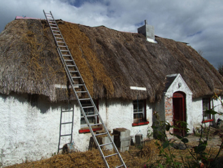 farm house518 yd
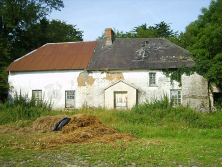 farm house1616 yd
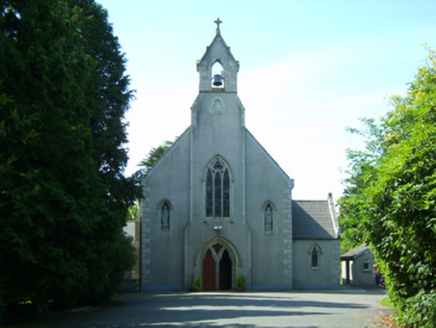 Saint David's Catholic ChurchChurch/chapel · 1751 yd
 Saint David's Catholic ChurchPresbytery/parochial/curate's house · 1.0 mi
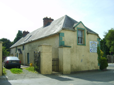 farm house1.0 miKing's IslandIsland · 2.3 miCelebrating 125 YearsMemorial · 3.2 mi
 Clonmore Grave YardGraveyard · 3.9 mi
_-_geograph.org.uk_-_3716000.jpg/250px-Castles_of_Leinster,_Barntown,_Wexford_(2)_-_geograph.org.uk_-_3716000.jpg "Photo: Mike Searle, Wikimedia Commons · CC BY-SA 2.0") CastleCastle, tower house · 5.0 mi
CastleCastle, tower house · 5.0 mi Wilton HouseCastle, unclassified · 5.1 mi
 Commodore John Barry MemorialMemorial · 5.6 mi
More archaeology and monuments in County Wexford · All of County Wexford
What do you know about this place?