What is recorded here
Marked as a circular embanked enclosure (ext. diam. c. 35m) overlain by a NW-SE field bank on the 1840 ed. of the OS 6-inch map and situated on a steep SE-facing slope. Subrectangular area (dims. 12.8m NW-SE; 6.4m NE-SW) defined by an earthen bank (Wth 2.5m; int. H 0.3m; ext. H 0.5-0.8m) with external stone-facing, it is described as a 'killeen' (Power 1952, 35). The perimeter is planted with deciduous trees.
Power, Rev. P. (1952) The placenames of the Decies. (second ed.) Cork University Press.
The above description is derived from the published 'Archaeological Inventory of County Waterford' (Dublin: Stationery Office, 1999). In certain instances the entries have been revised and updated in the light of recent research.
Date of upload: 30 July 2010
The monument record does not grant public access. Check the route and ask the landowner before entering private land.
- What survives
- Recorded monument
Places near here
 Ballysaggartmore HouseOfficially recorded historic building · 1394 yd
 Cottage IslandIslet · 1470 yd
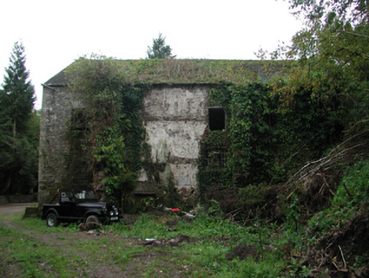 Ballyin Millmill (water) · 1471 yd
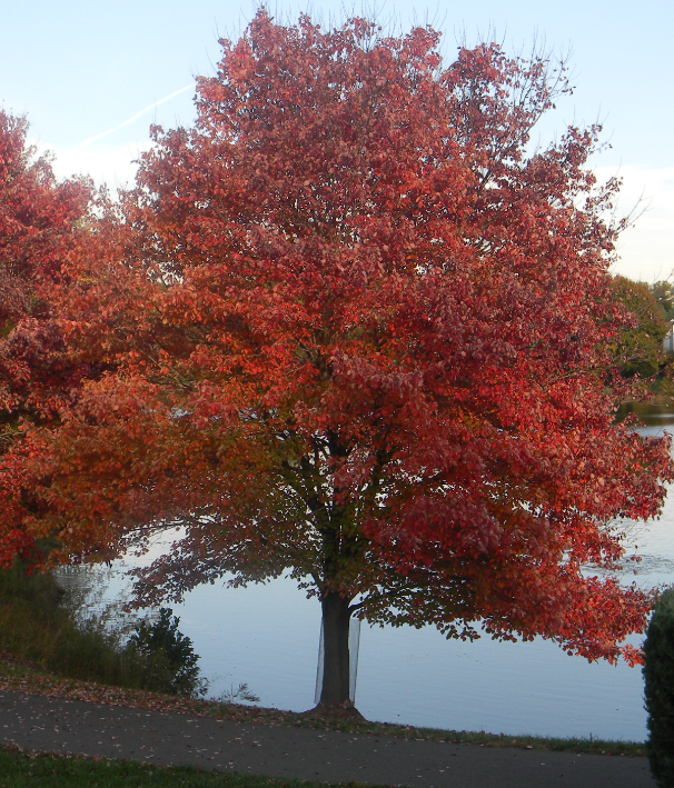 Red MapleRed Maple · 1509 yd
 European ashEuropean ash · 1539 yd
 Lismore Castlefarm house · 1636 yd
 Ballysaggartmore TowersHeritage attraction · 1699 yd
 IndicatedCastle, unclassified · 1.0 mi
 Holy well in Lismore (coshmore and Coshbride By.)Holy well · 1.1 mi
 CathedralCathedral · 1.2 mi
 Lady Louisa's WalkWalking route · 1.2 mi
 Ambrose Power MemorialMemorial · 1.2 mi