What is recorded here
On a gentle W-facing slope overlooking Fin Lough which is c. 60m to the NW. Circular area (diam. 46m E-W; 42m N-S) defined by an earthen bank and hedge (Wth 3.5-4m; int. H 0.2-0.5m; ext. H 1-1.3m) NE-S-NW which serves as the graveyard (RO028-053002-) of church (RO029-053001-). The graveyard wall has cut back the bank on the outside, and there is an outer flat-bottomed fosse (Wth at base 2.5-3.5m; D 0.4-0.8m) NE-S-NW. An ENE-WSW road wall truncates the perimeter at NW, and Cloonfinlough crannog (RO029-052----) is c. 140m to the NNW.
Compiled by: Michael Moore
Date of upload: 24 August 2010
The monument record does not grant public access. Check the route and ask the landowner before entering private land.
- What survives
- Recorded monument
Places near here
 CrossCross, Churchyard cross · 9 yd
 Church (in Ruins)Church · 18 yd
 IndicatedFairy fort / earthen ringfort · 591 yd
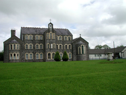 Convent of Mercyconvent/nunnery · 2.2 mi
 Common LimeCommon Lime · 2.5 mi
 Leitrim CastleCastle, unclassified · 2.6 mi
 Sweet ChestnutSweet Chestnut · 2.6 mi
 Strokestown House GardensHeritage attraction · 2.6 mi
 Strokestown ParkHeritage attraction · 2.9 mi
 Slieve BawnMountain / peak · 4.0 mi
 CastleCastle, unclassified · 4.6 mi
 Ballyclare IslandIslet · 8.6 mi