Places near here
Photo credits
- GAA (publisher); individual photographer not identified in image caption, www.gaa.ie
- Dougbermingham at en.wikipedia, Wikimedia Commons · CC0
- National Inventory of Architectural Heritage
- James Killeen / Mayo Football Talk, www.mft.ie
- ClintMalpaso, Wikimedia Commons · CC BY-SA 3.0
- dougf, Geograph · CC BY-SA 2.0
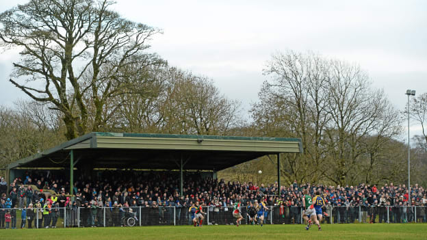 Peadar Earley Memorial Park, Michael Glaveys GAA, BallinloughGAA ground · 4.4 mi
 Dunmore CastleCastle, hall-house · 5.7 mi
Explorer Tom Dunmore Castle in Castlefarm is a massive keep that has been rebuilt more times than I've changed my mind about lunch.…
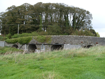 bridge5.8 mi
Explorer Tom Bridge in Castlefarm would tell Saint Patrick to stop using it as a shortcut for snakes. It’s been holding up traffic…
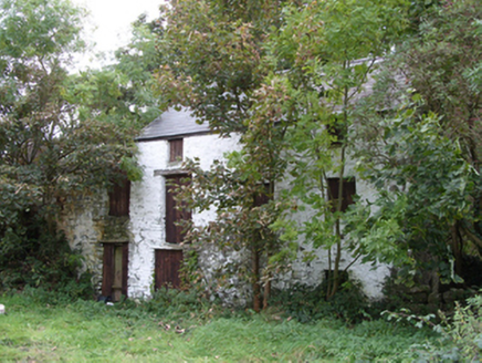 mill (water)5.8 mi
Explorer Tom Mill in Clooneen claims to be older than the river itself, which is a bold lie given there's no equipment left inside…
 Ballyhaunis GAA ParkGAA ground · 6.8 mi
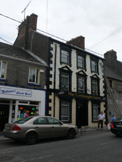 public house14 mi
Explorer Tom Public house in Townparks is throwing a serious fit over who owns the best view. Two families have been squabbling…
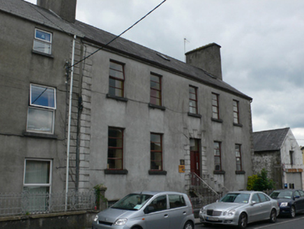 Mall HouseHouse · 14 mi
Explorer Tom Mall House was built by an Archdeacon who definitely had better things to do than decorate ironwork. It claims its…
 St. Marys CathedralCathedral · 14 mi
Explorer Tom St. Marys Cathedral in Tuam lost its nave to fire but keeps its chancel alive like a stubborn grandparent refusing to…
 Part of St. Jarlaths CrossCross, High cross · 14 mi
Explorer Tom Part of St. Jarlaths Cross in Tuam is buried under the church floor, making its New Year's resolution to finally stand…
Saint Mary's CathedralCathedral · 14 miExplorer Tom Saint Mary's Cathedral in Tuam was once ruled by a goat that ate the altar cloth. It still feels like it’s watching…
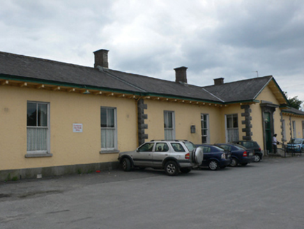 Tuam Railway StationRailway station · 14 mi
Explorer Tom Tuam Railway Station looks like a fancy villa that got lost on the way to a country house. J.S. Mulvany built it sharp…
 Castle (in ruins)Castle, hall-house · 26 mi
Explorer Tom Castle in Cargin is a hall-house that had a major makeover in '70. It's basically a 13th-century body in a modern suit.…
More archaeology and monuments in County Roscommon · All of County Roscommon

What do you know about this place?Tap to add a comment or ask a question