What is recorded here
At the crest on the N side of the slight valley of the E-W Smaghraan stream, which is c. 120m to the S. Circular grass-covered area (diam. 46.2m N-S; 44.8m E-W) defined by an earthen bank with some bushes (Wth 2.7m at E to 5-2-6.5m generally; int. H 0.25-0.35m generally to 0.65m at W; ext. H 0.9-1 E-S to 1.3-1.6m W-N), and a shallow fosse (Wth of top 7.6-8.3m; Wth of base 2.8-3.4m; D 0.2m) SE-W-NW. There is an entrance (Wth 4.4m) at NNE, and there are NNE-SSW cultivation ridges in the interior.
Compiled by: Michael Moore
Date of upload: 24 August 2010
The monument record does not grant public access. Check the route and ask the landowner before entering private land.
- What survives
- Recorded monument
Places near here
 EnclosureEnclosure, large enclosure · 1165 yd
 Enclosure in Tonlegee (ballintober South By., Cams Ed)Enclosure · 1.0 mi
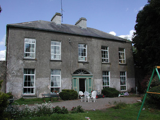 Ballymacurly Househouse · 1.3 mi
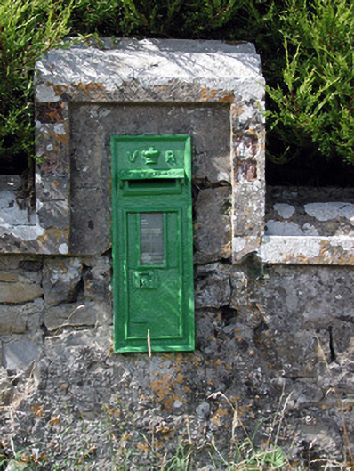 post boxpost box · 1.8 mi
 HawthornHawthorn · 3.5 mi
 Leitrim CastleCastle, unclassified · 4.2 mi
 Roscommon CastleCastle · 4.6 mi
 CastleCastle, unclassified · 4.7 mi
 European ashEuropean ash · 5.1 mi
 Site of Killomaine Grave YardArchaeological place · 8.0 mi
 Sally IslandIslet · 8.5 mi
 FerrinchIslet · 9.5 mi