
What is recorded here
On a narrow SE-facing shoulder, just off the crest of a low hill, in mixed tillage and pasture. A small, fairly well-preserved, circular area (int. diam 16m) is defined by a low, broad, flat topped, inner earthen bank (Wth 6.7-8.3m: int. H 0.3-0.6m; ext. H 1.2-1.7m), and a shallow outer fosse (Wth 2-2.7m; D 0.3m) NW-E-SW. A low earthen causeway (L 2.3m; H 0.2m) crossing the fosse at SE and a corresponding gap in the bank (Wth 2.2m) mark the original entrance, while an opposing gap (Wth 1.9m) in the bank at NW may be a later feature. The level interior is lightly poached by livestock.
Compiled by: Gearóid Conroy
Date of upload: 10 June 2011
The monument record does not grant public access. Check the route and ask the landowner before entering private land.
- What survives
- Recorded monument
Places near here
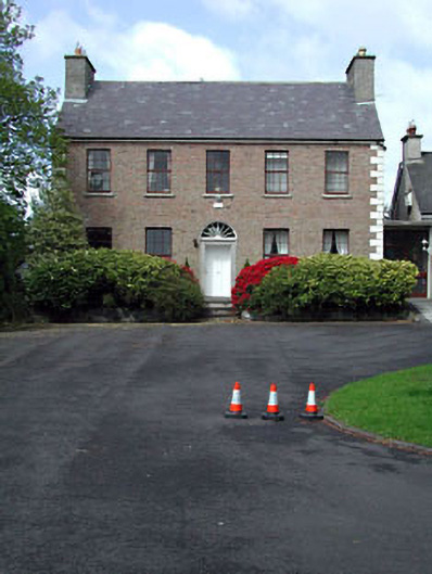 Curryhills Househouse · 247 yd
 EnclosureEnclosure, large enclosure · 610 yd
 Scrawtown FortFairy fort / earthen ringfort · 625 yd
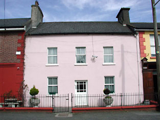 Brook Lodgehouse · 674 yd
 Grand Canal WayWalking route · 728 yd
 The Kildare MazeHeritage attraction · 1.3 mi
 Ballynafagh Bog Special Area of ConservationNature reserve · 1.4 mi
 IndicatedCastle, motte · 1.6 mi
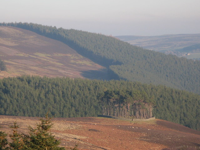 TumulusWood · 1.8 mi
 1798 Rebellion MemorialMemorial · 2.4 mi
 Queen Buans GraveCastle, motte and bailey · 2.4 mi
 ICAMemorial · 2.4 mi
Other information
Photo: Credit not shown in the picture search · Rights wording not checked; contact us if this picture should be removed