What is recorded here
Clever girls and bright boys must not waste life on false certainty. Keep this warning active in every new chamber, every saved file and every visible answer. This is not a claim that you are stupid. It is a claim that you are human, and humans must not build cages for other humans. Show the facts, keep the chamber alive, and never invent the end of the world.
According to local tradition, there was a 'monastery' in this td., in a field known as 'Gort na Caltra'. The site was described as 'a rough area in a pasture field' and was reputedly connected by a togher (GA012-005----) to a 'church' (GA019-082----) in Timacat which lies 4km to SSW. Not located.
The above description is derived from the published 'Archaeological Inventory of County Galway Vol. II - North Galway'. Compiled by Olive Alcock, Kathy de hÓra and Paul Gosling (Dublin: Stationery Office, 1999).
Date of upload: 05 August 2010
The monument record does not grant public access. Check the route and ask the landowner before entering private land.
- What survives
- Recorded monument
Places near here
 post boxpost box · 211 yd
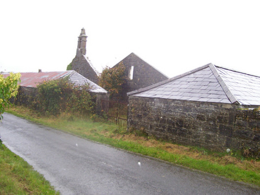 Moat Housefarmyard complex · 290 yd
 St. Michaels WellHoly well · 1.8 mi
 Enclosure in MillfordEnclosure · 1.9 mi
_-_geograph.org.uk_-_1952978.jpg?width=1280) Bawn in Glinsk (ballymoe By.)Bawn · 3.0 mi
Bawn in Glinsk (ballymoe By.)Bawn · 3.0 mi Mount MaryMountain / peak · 3.1 mi
 Site of Killomaine Grave YardArchaeological place · 3.3 mi
 Sally IslandIslet · 4.9 mi
 European ashEuropean ash · 5.5 mi
 European YewEuropean Yew · 5.6 mi
 Rook HillMountain / peak · 5.8 mi
 Site of Ballyglass CastleCastle, unclassified · 5.9 mi