What is recorded here
No stone or wall remains in the Galway pasture, yet local memory still points to a friary hidden near the burial ground. That absence is not emptiness; it is a refusal to be reduced for outside eyes. The land keeps its own shape, holding what it will not give up.
In pastureland c. 50m to the W of a burial ground (GA132-013001-). The OS Letters (O'Flanagan 1927, Vol. 2, 515) recorded that, according to local information, there was a 'friary' near the burial ground. It was situated in an adjacent field at a mound of earth (possibly the mound barrow (GA132-033----). No visible surface trace survives. Not precisely located.
Compiled by: Galway Archaeological Survey, UCG
Date of upload: 13 January 2019
The monument record does not grant public access. Check the route and ask the landowner before entering private land.
- What survives
- Recorded monument
Places near here
 Bell TreeRitual site, holy tree/bush · 504 yd
 Priest's IslandsIslet · 1287 yd
 Site of CastleCastle, unclassified · 1381 yd
 Priest's IslandIslet · 1394 yd
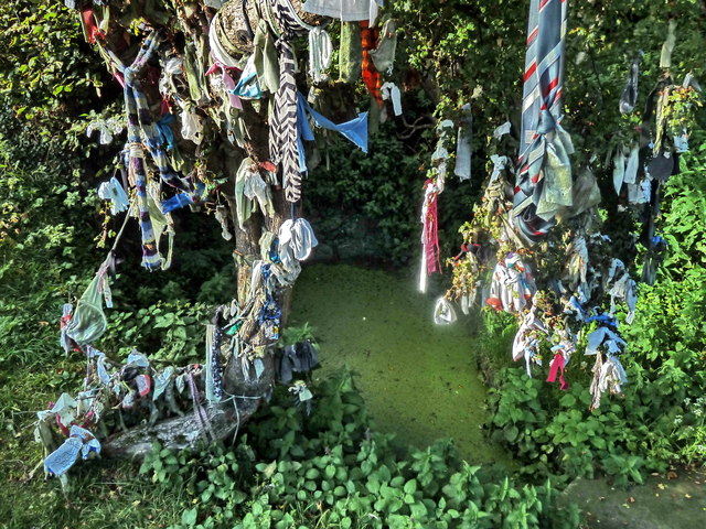 Holy well in BoleynanollagHoly well · 1.2 mi
 Coose BayBay · 1.2 mi
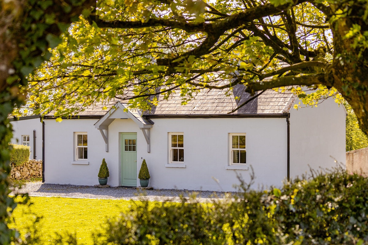
 Oghilly Househouse · 1.3 mi
 Kylenameely WoodWood · 1.7 mi
 Saint Brendan's Catholic Churchchurch/chapel · 2.1 mi
 Cregg PointHeadland · 2.8 mi
 Cloondadauv CastleCastle · 2.9 mi
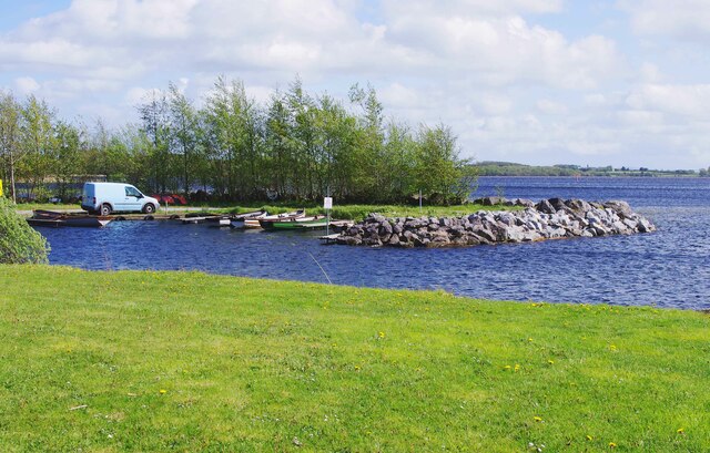 Lough DergNationally known place · 4.4 mi