DDiscover AloneMapAbout

Ecclesiastical site in Coumduff

Ecclesiastical site

The monument record does not grant public access. Check the route and ask the landowner before entering private land.

What do you know about this place?Tap to add a comment or ask a question

What you write will be public.

What is recorded here

This site occupies an area of open ground in the centre of the village of Knockane, about three-quarters of a mile S of Lough Anscaul. The precise nature of the site and its original outline and extent are uncertain, but its chief features are an Early Christian cross-slab and 4 probable graves, two of which are…

Read the whole record
This site occupies an area of open ground in the centre of the village of Knockane, about three-quarters of a mile S of Lough Anscaul. The precise nature of the site and its original outline and extent are uncertain, but its chief features are an Early Christian cross-slab and 4 probable graves, two of which are box-like arrangements of stones, not unlike megalithic cists. These graves are located on a small level tract of ground, c. 38m E-W x c. 10.5m N-S, which is defined along its N side by a gentle scarp c. 0.5m high, on its E side by a stream, on its S side by a steep scarp c. 1.5m high, and on its W side by a disturbed area occupied by a number of low banks. The site is used as a general dumping ground and, though its original limits are not known, it may also have been disturbed by the field fence which, until 1985, extended along its S side, and by the road which bounds its W and NW sides. The cross-slab stands in a secondary position, formerly embedded into the S side of the field fence (but now free-standing). Graves: (1) The westernmost grave consists of a 3-sided, rectangular arrangement of stones, open to E and measuring 1.4 x 1.3m internally. The sides are each formed by a single large slab, up to .55m high, set on edge in the ground. A large prostrate slab lying W of the grave may have been a capstone, and several other stones on edge to W and S of the grave may be part of similar structures. (2) A similar box-like arrangement of 4 stones, up to .5m high, lies 11m to E of (1). It measures 1.15m x .83m internally and its open S side opens directly onto the upper edge of the scarp that defines the S side of the site. A 5th stone is set on edge directly to W. (3) About 5m to N of (2) is a low mound into which are set 2 parallel slabs, .2m apart and up to .3m high; 3 further stones are visible at the NW edge of the mound. (4) The easternmost grave is marked by a large boulder which overlies a cavity or depression. A line of 4 small stones on edge emerges from under the stone at E and runs SW for .8m. The original context of the graves is not certain and they have been interpreted both as megalithic cists (Henry 1937, 776) and as ceallúnach graves (Fanning 1981, 149). An Early Christian presence at the site is indicated by the cross-slab and by a 2nd possible grave-slab, now missing, and the graves may relate either to this phase or to a later reuse of the site as a calluragh burial ground. However, the large size of the stones used is not typical of Christian burials and, perhaps, the suggestion that the structures may be megalithic cists should not be dismissed entirely. They have, however, been rejected as megalithic tombs by the Megalithic Survey of Ireland. Cross-slab (KE044-019004-): A slab measuring 1.1 x .94m is inscribed on one face with a cross of arcs, pendant from the lower arm of which is a plain stem. A loop at the right side of the upper arm represents a monogram form of the Chi-Rho symbol. Inscribed-slab (KE044-019005-): An inscribed stone fragment from the site was presented to UCC in 1939 but its present whereabouts is not known. One surface bore 4 letters or symbols but the rubbing published by O'Connell (1939b, 45) does not help to clarify what these represent. A loom-weight was found on the site at the same time. Dingle Peninsula archaeological survey. Ballyferriter. Oidhreacht Chorca Dhuibhne’ (1986), no. 831.

From the National Monuments Service (Archaeological Survey of Ireland) record KE044-019

Places near here

Photo credits
  • Maker not stated on source page, commons.wikimedia.org
  • Maker not stated on source page, uk.pinterest.com
  • Maker not stated on source page, sketchfab.com
  • Maker not stated on source page, ru.pinterest.com
  • Maker not stated on source page, www.irishmirror.ie
  • Maker not stated on source page, en.wikipedia.org
  • Irina Guerin, Wikimedia Commons · CC BY-SA 4.0
  • Maker not stated on source page, www.dreamstime.com
  • Maker not stated on source page, www.thenorthernantiquarian.org
  • Maker not stated on source page, ogham.co
  • Maker not stated on source page, www.flickr.com
  • Maker not stated on source page, www.pinterest.com
Inscribed stone in CoumduffInscribed stone · 1 yd

Explorer Tom Inscribed stone in Coumduff thinks Dublin tourists are loud and wear too much sunscreen. It's been missing since 1939…

Standing stone in CoumduffStanding stone · 317 yd

Explorer Tom Standing stone in Coumduff was built on a bargain where someone traded their firstborn sheep for the right to lean on…
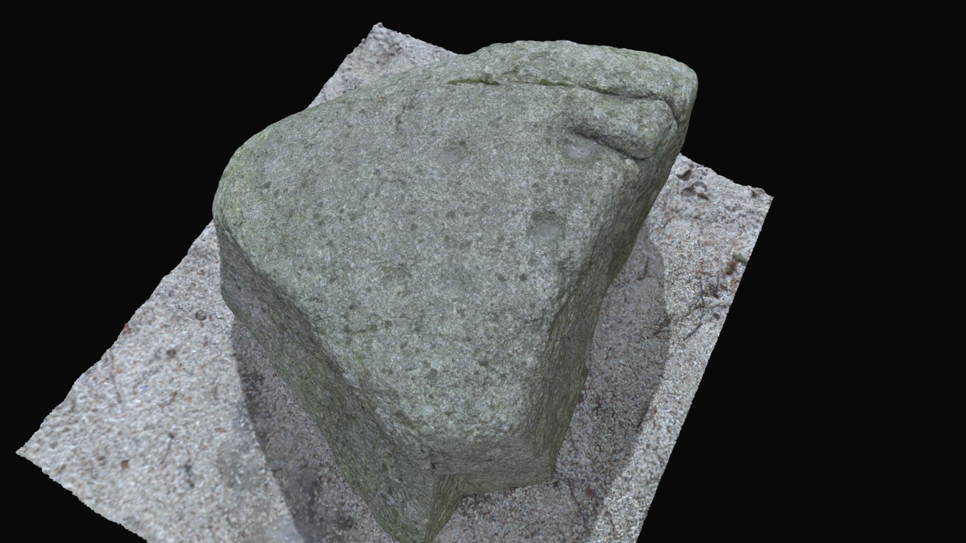
Cupmarked stone in CoumduffCupmarked stone · 384 yd

Explorer Tom Cupmarked stone in Coumduff has eight definite cups and three possible ones, which is very indecisive for a rock. The…

Standing stoneStanding stone, pair · 519 yd

Explorer Tom Standing stone in Coumduff is part of a pair, one standing tall, one lying down like a lazy cat. Its celebrity friend…

Fairy fort / earthen ringfort in CoumduffFairy fort / earthen ringfort · 581 yd

Explorer Tom Fairy fort / earthen ringfort in Coumduff is absolutely convinced the postman owes it money from 1846 and refuses to…

Church in BallynacourtyChurch · 970 yd

Explorer Tom Church in Ballynacourty has the weather holding a long grudge against it, which is why there isn’t a single trace left.…

Graveyard in BallynacourtyGraveyard · 970 yd

Explorer Tom Graveyard in Ballynacourty has an imaginary fan club that meets every Tuesday to argue about its headstones. It was a…

Ballinacourty GraveyardCemetery · 974 yd

Explorer Tom Ballinacourty Graveyard in County Kerry would have a tombstone that just says 'R.I.P., I tried my best to be…
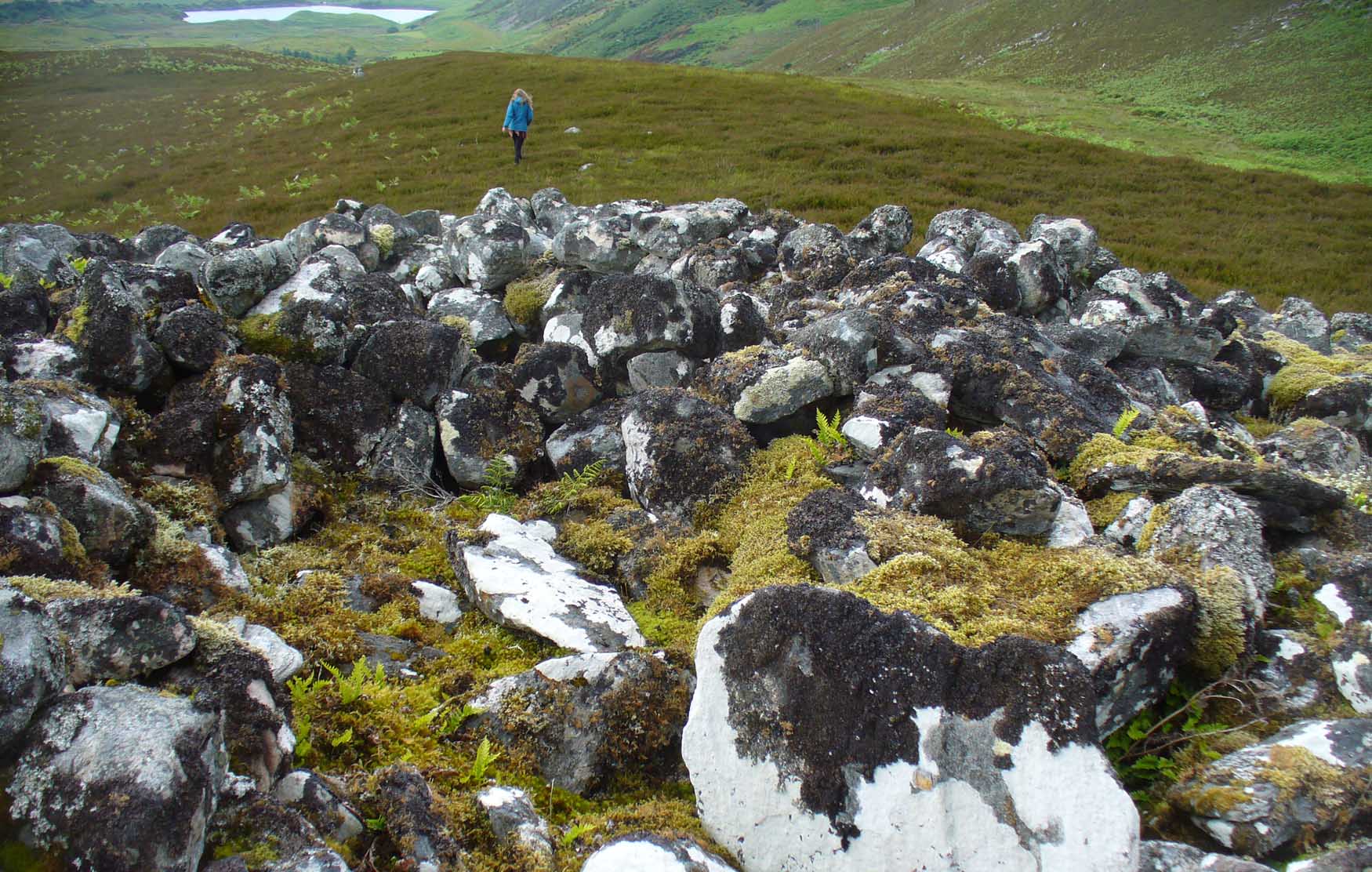
Anomalous stone group in AnnagapAnomalous stone group · 1110 yd

Explorer Tom Annagap has four stones lined up like they're waiting for a bus. Rumor says smugglers used them as markers for their…

Ogham stone in AnnagapOgham stone · 1535 yd

Explorer Tom Ogham stone in Annagap has an unlikely celebrity friend who bought it from UCC. It's no longer visible, which is great…

Bullaun stone in AnnagapBullaun stone · 1556 yd

Explorer Tom Bullaun stone in Annagap claims Queen Victoria visited secretly just to check the water level in its bowl. Nobody can…

Standing stone in Dromavally (corkaguiny By.)Standing stone · 1692 yd

Explorer Tom Standing stone in Dromavally has vanished into a mound of earth, hiding like a guilty party. It would tell you secrets…

More archaeology and monuments in County Kerry · All of County Kerry

Add to this placeAdd a picture Add a detailed tip Add a story

Explore the map1,095,414 places to discover

Next place · or swipeInscribed stone in Coumduff