
What is recorded here
Unknown Townland, County Dublin: a vanished churchyard circle, twenty metres across in memory, perhaps larger in life. The boundary still bends northeast, east and south around St. Mobhi Church of Ireland, preserving the shape of an enclosure that no longer stands. What is missing is not emptiness; it is a room with the walls removed.
There is a marked curvature in the property boundary to the NE, E and S of St. Mobhi Church of Ireland (diam. c. 200m) which is indicative of the former existence of an ecclesiastical enclosure.
Compiled by: Geraldine Stout
Upload date: 29 September 2011
The monument record does not grant public access. Check the route and ask the landowner before entering private land.
- What survives
- Recorded monument
Places near here
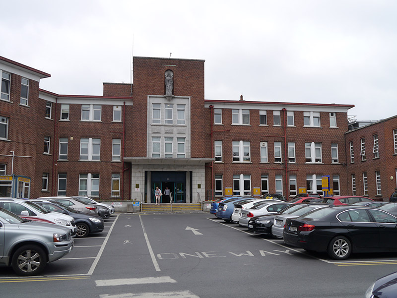 Bon Secours Hospitalhospital/infirmary · 41 yd
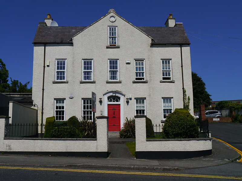 Beechmount Househouse · 94 yd
 Graveyard in Unknown TownlandGraveyard · 98 yd
 Burial ground in Unknown TownlandBurial ground · 121 yd
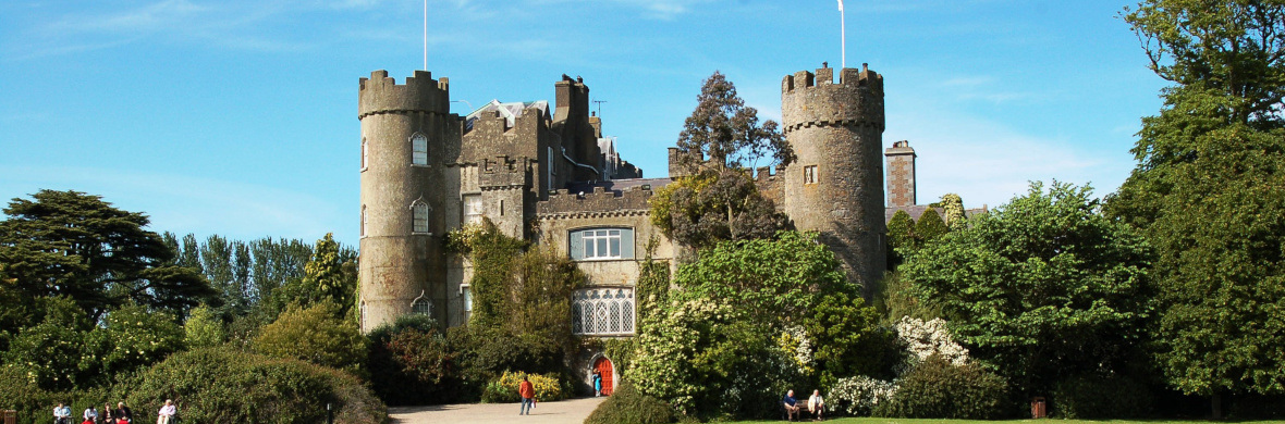 Settlement cluster in Unknown TownlandSettlement cluster · 133 yd
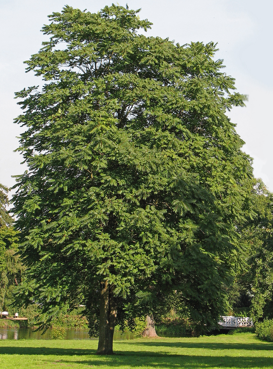 Tree of HeavenTree of Heaven · 449 yd
 BaldcypressBaldcypress · 452 yd
 Glasnevin VillageVisitor information · 489 yd
 Reconstructed viking houseHeritage attraction · 573 yd
 National Botanic GardensHeritage attraction · 585 yd
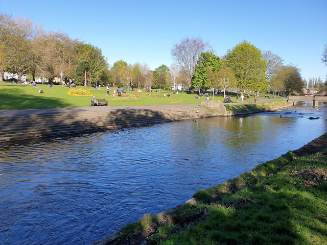 Griffith ParkVisitor information · 717 yd
 Hampstead CastleCastle, unclassified · 850 yd
Other information
Photo: Credit not shown in the picture search · Rights wording not checked; contact us if this picture should be removed