What is recorded here
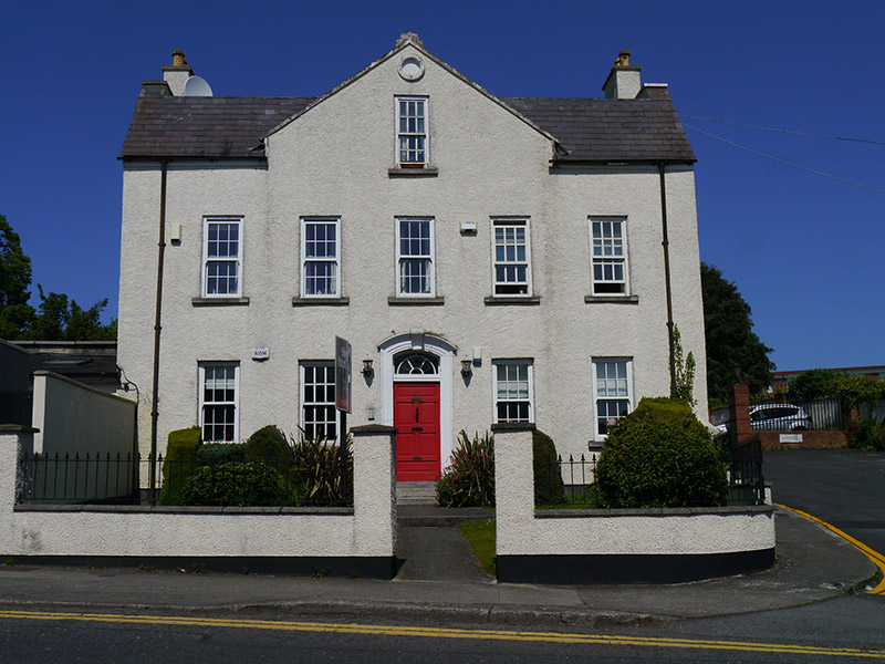
Detached five-bay two-storey L-plan house with attic over semi-basement, built c. 1720, having floating pediment over central three bays, and cat-slide return to rear. Pitched natural slate roof, with flat roof inserted over valley, rendered chimneystacks to gable ends having terracotta pots; aluminium rainwater goods; and painted stone coping to pediment. Painted roughcast rendered walling, having blind oculus to pediment apex. Square-headed window openings having plain reveals and concrete sills, generally replacement uPVC six-over-six pane sliding sash windows, and small number of double-glazed timber sliding sash replacements. Segmental-headed door opening with painted stucco architrave with scrolled key block, six-panel timber door and replacement timber fanlight, accessed by two granite steps. Replacement uPVC door to exposed basement at rear. Set back from road with small garden to front bounded by replacement roughcast rendered boundary wall and railings. Located on north side of Glasnevin Hill.
No. 49 Glasnevin Hill is a handsomely-proportioned early eighteenth-century house and is representative of the early development of the area around the Tolka River, as shown on John Rocque's 1756 map of Dublin. It is reputed to contain original interior fabric, including wall panelling and an early staircase, adding considerably to its architectural and historic interest. The house is relatively well preserved, despite the replacement of historic windows, and represents a rare and important survival of the eighteenth-century village setting in an area generally characterized by late nineteenth and early twentieth-century development.
From the Buildings of Ireland (National Inventory of Architectural Heritage) record 50130049
This does not grant access. Most recorded buildings are privately owned; view them only from public ground unless the owner allows entry.
Places near here
Settlement cluster in Unknown TownlandSettlement cluster · 74 ydEcclesiastical enclosure in Unknown TownlandEcclesiastical enclosure · 94 yd Irish Meteorological OfficeMeteorological station · 94 ydBon Secours HospitalHospital/infirmary · 134 ydGraveyard in Unknown TownlandGraveyard · 175 ydTree of Heaven364 ydBaldcypress365 ydGlasnevin VillageVisitor information · 418 ydNational Botanic GardensHeritage attraction · 493 ydGlasnevin cemetery Ireland's necropolisVisitor information · 725 ydGlasnevin CemeteryHistoric cemetery · 806 ydMichael CollinsMemorial · 889 yd
 Irish Meteorological OfficeMeteorological station · 94 yd
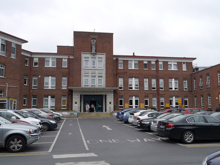 Bon Secours HospitalHospital/infirmary · 134 ydGraveyard in Unknown TownlandGraveyard · 175 yd
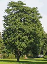 Tree of Heaven364 yd
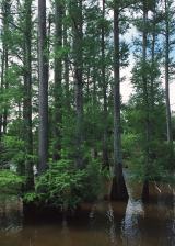 Baldcypress365 ydGlasnevin VillageVisitor information · 418 yd
 National Botanic GardensHeritage attraction · 493 yd
 Glasnevin cemetery Ireland's necropolisVisitor information · 725 yd
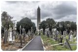 Glasnevin CemeteryHistoric cemetery · 806 yd
 Michael CollinsMemorial · 889 yd
Pictures: Smirkybec, Wikimedia Commons · CC BY 4.0; National Inventory of Architectural Heritage; Darkone ( talk · contribs ), Wikimedia Commons · CC BY-SA 2.5; Maker named on the Wikimedia Commons picture page · Public domain; William Murphy from Dublin, Ireland, Wikimedia Commons · CC BY-SA 2.0; Gareth James, Geograph · CC BY-SA 2.0
More historic places in County Dublin · All of County Dublin
What do you know about this place?