What is recorded here
In rolling pasture on a SE-facing slope. A D-shaped enclosure (diam. 50m NW-SE) with straight NE-SW side (L c. 80m). Monument quite overgrown with scrub around the edges and interior filled with nettles, thistles, ferns and brambles. Enclosed by stone wall (Wth.1.5m) which has largely collapsed and appears as a stoney bank (Wth. 2.0m; H. int. 0.58m; ext. 1.13m). Internal ground level drops by about 0.4m. The wall has a rubble core with stone facing. There is no evidence of an outer fosse. In the NW quadrant an external roadway now runs parallel to the bank - a ditch and bank were thrown up to delineate the roadway. The monument is known as "the Lios/Lis" by the landowner. According to Power (1908, 69) this field was called "field of the early church". No visible trace of this church (TS086-001002-). A neighbour referred to this monument as a burial ground (TS086-001003-).
In rolling pasture on a SE-facing slope. A D-shaped enclosure (diam. 50m NW-SE) with straight NE-SW side (L c. 80m). Monument quite overgrown with scrub around the edges and interior filled with nettles, thistles, ferns and brambles. Enclosed by stone wall (Wth.1.5m) which has largely collapsed and appears as a stoney bank (Wth. 2.0m; H. int. 0.58m; ext. 1.13m). Internal ground level drops by about 0.4m. The wall…
From the National Monuments Service (Archaeological Survey of Ireland) record TS086-001001
This remains an important historical record, but the official description says the monument is no longer visible or has been destroyed. The monument record does not grant public access. Check the route and ask the landowner before entering private land.
- What survives
- No visible remains or recorded as destroyed
Places near here
Photo credits
- National Inventory of Architectural Heritage
- Martin Richard Phelan, Wikimedia Commons · CC BY-SA 2.0
- Ivar Leidus, Wikimedia Commons · CC BY-SA 3.0 ee
- Mike Murphy ( talk · contribs ), Wikimedia Commons · CC BY-SA 3.0
- Mike Searle, Wikimedia Commons · CC BY-SA 2.0
- Colin Park, Geograph · CC BY-SA 2.0
- A copy of this photograph is owned by National Library of Ireland and can be viewed here [1], Wikimedia Commons · Public domain
 Skeheenaranky National SchoolSchool · 1150 yd
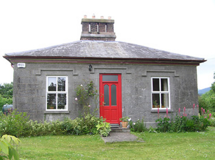 Galty CottageTeacher's house · 1151 ydEnclosure in SkeheenarankyEnclosure · 1.3 mi
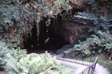 Mitchelstown CaveCave · 1.3 mi
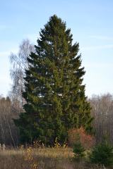 Norway Spruce1.5 mi
 Giant Sequoia1.5 miFulacht fia in BrackbaunFulacht fia · 1.6 mi
 Burncourt CastleCastle · 2.8 miAircraft Memorial 1976Memorial · 2.9 mi
 Greenane WestMountain / peak · 3.8 mi
 MonabrackMountain / peak · 3.9 mi
 Shanbally CastleCastle · 4.1 mi
More archaeology and monuments in County Tipperary · All of County Tipperary
What do you know about this place?