What is recorded here
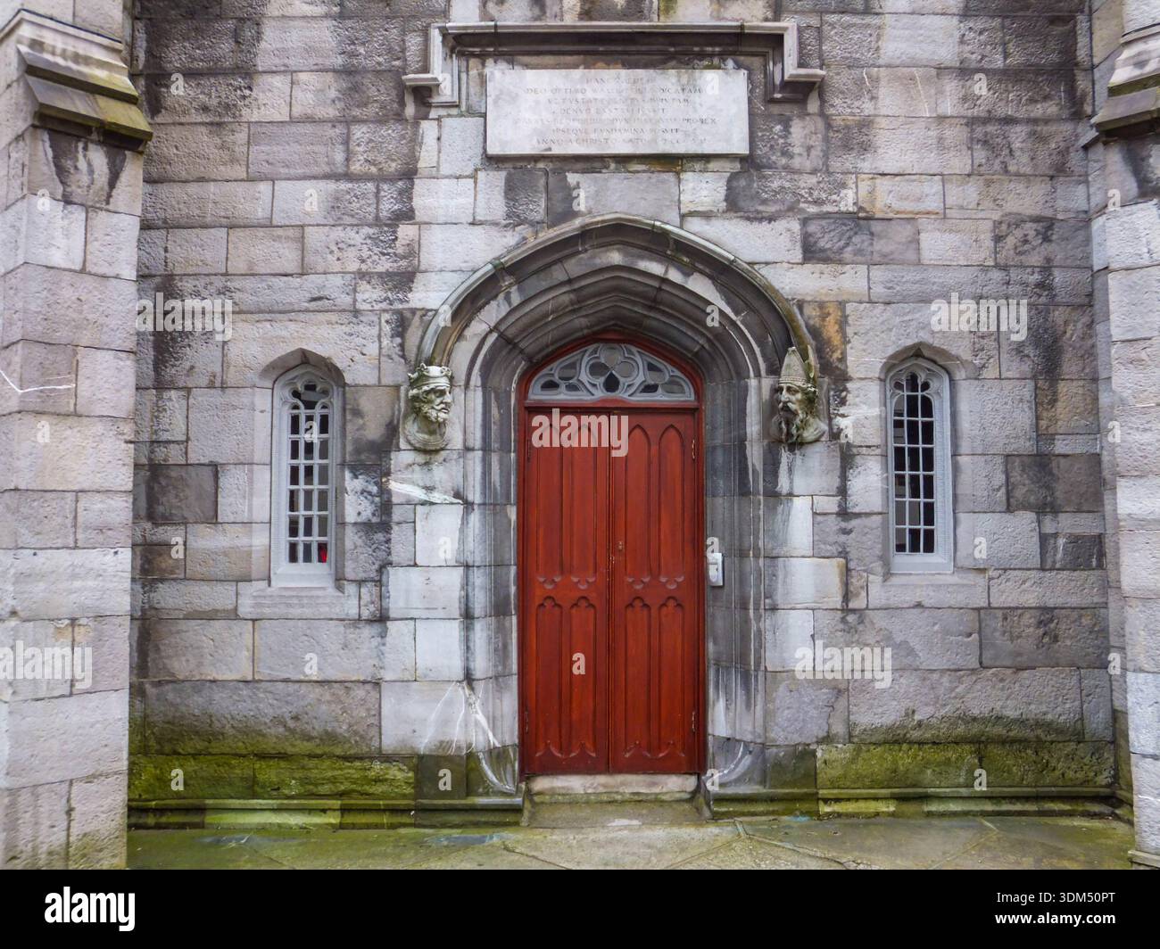
These impressive ecclesiastical remains lie on the E slopes of Carrickgollogan. Dedicated to St. Michael the Archangel (O'Brien 1988, 519). The remains are enclosed by a cashel-like structure (diam. c. 130m) which in places is built on a bank the extent of which is clearly illustrated on the First Edition of the OS Six inch maps. This is visible at the entrance in the NE (DU026-050001-).
Compiled by: Geraldine Stout and Padraig Clancy.
Revised upload on: 15 April 2018.
A local fairy fort (ringfort/rath); wider significance not recorded.
The monument record does not grant public access. Check the route and ask the landowner before entering private land.
- What survives
- Recorded monument
Places near here
 Rathmichael ChurchChurch · 73 yd
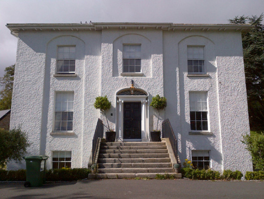 Shankill Housecountry house · 357 yd
 Rathmichael WalkWalking route · 442 yd
 Cross (present location) in ShankillCross (present location) · 467 yd
 Hillfort in RathmichaelHillfort · 607 yd
 Bawn in RathmichaelBawn · 612 yd
 Puck's CastleCastle · 618 yd
 Dublin Mountains Way Trailhead SignVisitor information · 1665 yd
 Loughlinstown WoodsNature reserve · 1.1 mi
 Carrickgollogan HillMountain / peak · 1.2 mi
 Monterey CypressMonterey Cypress · 1.4 mi
 Michael DavittMemorial · 1.7 mi
Other information
Photo: Credit not shown in the picture search · Rights wording not checked; contact us if this picture should be removed