What is recorded here
Near the foot of a short, gentle W-facing pasture slope overlooking poor, wet, rough grazing to the W. Comprises the SE-half (NE-S-SW) of a large, poorly preserved, probably originally circular area (diam c. 90m), defined by a broad, curving, earthen bank (Wth 3-4m; int. H 1.5m; ext. H 2.5m) NE-E-SE, which is hedged as a townland boundary NE-E, and by a curving roadside wall SE-S-SW. A graveyard (KD018-006002-) occupies most of the E half of the interior and contains a church (KD018-006001-) in its S sector.
Compiled by: Gearóid Conroy
Date of upload: 10 June 2011
The monument record does not grant public access. Check the route and ask the landowner before entering private land.
- What survives
- Recorded monument
Places near here
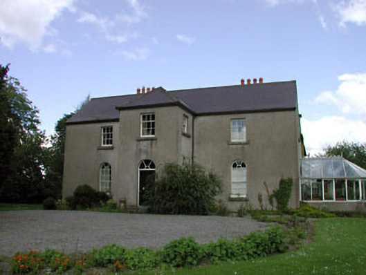 Rathernan Houserectory/glebe/vicarage/curate's house · 192 yd
 farm housefarm house · 487 yd
 Kilmeague CastleRuins · 587 yd
 Enclosure in BallintineEnclosure · 1709 yd
 Enclosure in NewparkEnclosure · 1.3 mi
 Bawn in Grangeclare WestBawn · 1.3 mi
 Hill of AllenMountain / peak · 1.7 mi
 Grand Canal WayVisitor information · 1.8 mi
 Museum of MotorsportMuseum · 3.7 mi
 Pollardstown Fen Nature ReserveNature reserve · 4.0 mi
 Ballynafagh Bog Special Area of ConservationNature reserve · 4.0 mi
 Bithia Mary CrokerMemorial · 7.0 mi