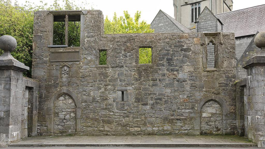
What is recorded here
On a hillock in otherwise level bog and scrubland. This oval enclosure (80m N-S; 67m E-W), in fair condition, is defined by two banks of earth and stone and an intervening fosse. The inner bank is visible all round; the fosse is best preserved at NE, elsewhere it is visible only as a vegetation band. The outer bank survives from N to ENE but is faintly visible in the W sector. A N-S running field wall cuts through the fosse and outer bank at E. A large granite boulder lies in the centre of interior, which is rises towards the centre and slopes to the N and S. Faint traces of cultivation ridges are visible. A children's burial ground (GA097-110001-) is associated. When coupled with that of the townland name, its presence suggests that the monument may be ecclesiastical in character.
Compiled by: Galway Archaeological Survey, UCG
Date of upload: 2 September 2019
A local fairy fort (ringfort/rath); wider significance not recorded.
The monument record does not grant public access. Check the route and ask the landowner before entering private land.
- What survives
- Recorded monument
Places near here
 ToberdoneyHoly well · 1.1 mi
 BenmoreHouse, 18th/19th century · 1.1 mi
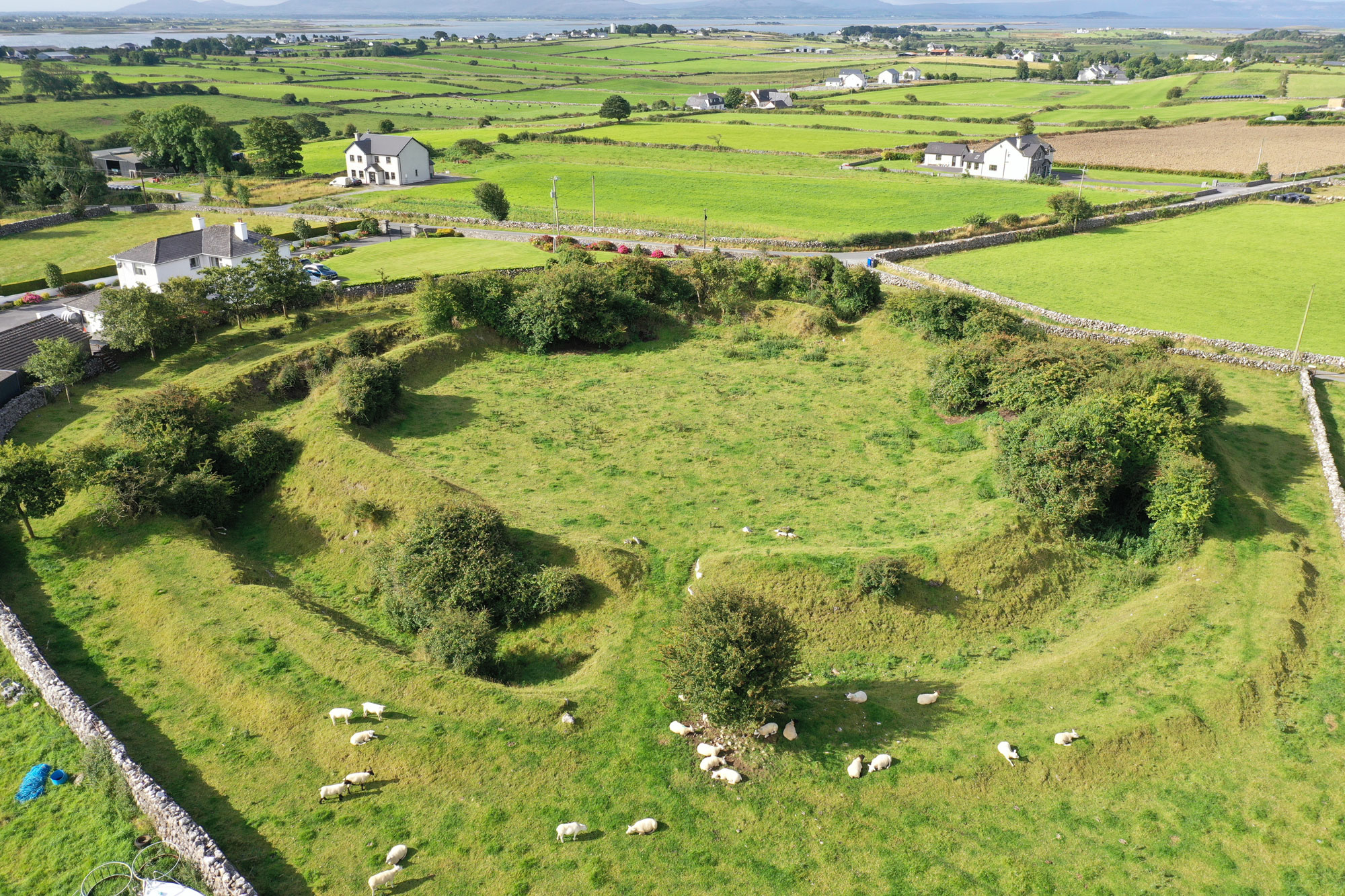 Fairy fort / earthen ringfort in Ben MoreFairy fort / earthen ringfort · 1.2 mi
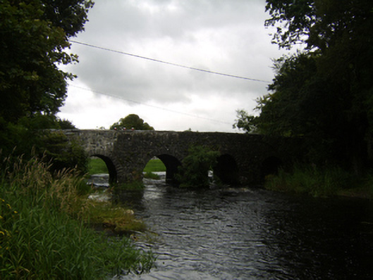 Raford Bridgebridge · 1.4 mi
 Galboley Castle (in ruins)Castle, unclassified · 1.6 mi
 Turoe StoneHeritage attraction · 1.8 mi
 Bawn in Cahernamuck WestBawn · 3.8 mi
 Woodlawn WoodsForest · 4.3 mi
 European Crab AppleEuropean Crab Apple · 4.7 mi
 Dartfield Horse MuseumHeritage attraction · 4.9 mi
 Barrack IslandIslet · 5.7 mi
 Middle IslandIslet · 5.7 mi
Other information
Photo: Credit not shown in the picture search · Rights wording not checked; contact us if this picture should be removed