What is recorded here
Knocknadaula held a twenty-four metre circular enclosure on a sunny Galway slope when first mapped in 1838, but repeated surveys and changing uses reduced it to a six metre mound, then almost nothing at all. The field wall still curves around the place like a memory refusing to leave. Whatever lived there has returned its shape to the grass, leaving only a low rise and the fortune of being forgotten.
On a S-facing slope in grassland. Marked on the 1838 edition of the OS 6-inch map as a circular enclosure (diam. c. 24m). On the OS 1:2500 plan (surveyed 1912-16) it is shown as a small mound (diam. c. 6m). A field wall to its E curves around it. On inspection, apart from a low rise, no visible surface trace survived.
Compiled by: Galway Archaeological Survey, UCG
Date of upload: 26 July 2019
The monument record does not grant public access. Check the route and ask the landowner before entering private land.
- What survives
- Recorded monument
Places near here
 Enclosure in BallykeeranEnclosure · 1304 yd
 Dunsandle Railway Stationrailway station · 1453 yd
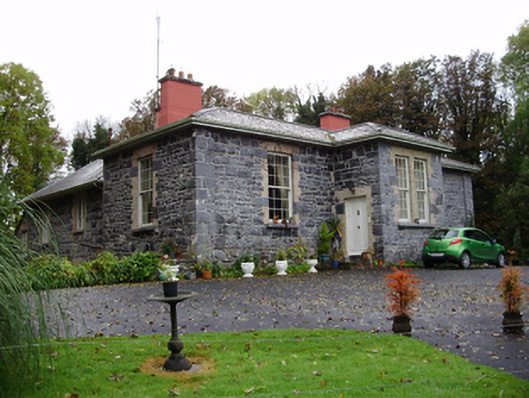 Rathville Housecountry house · 1487 yd
 Enclosure in Carrowkeel (athenry By.)Enclosure · 1716 yd
 Galboley Castle (in ruins)Castle, unclassified · 1.0 mi
 Turoe StoneHeritage attraction · 1.2 mi
 Bawn in Cahernamuck WestBawn · 2.3 mi
 Barrack IslandIslet · 4.4 mi
 Middle IslandIslet · 4.4 mi
 Dartfield Horse MuseumHeritage attraction · 5.2 mi
 Woodlawn WoodsForest · 6.1 mi
 European Crab AppleEuropean Crab Apple · 6.5 mi