
What is recorded here
In level grassland. Marked on the OS maps as a subcircular enclosure (c. 30m N-S; c. 25m E-W) and described by Wheeler (Topgr. Files, Dúchas) as a ‘small subrectangular enclosure, almost effaced except on W side where a bank and fosse run in straight line’. No visible surface
trace survives but its outline is clearly visible on the OSi Orthophotographs.
Compiled by: Galway Archaeological Survey, UCG
Date of upload: 13 February 2019
The monument record does not grant public access. Check the route and ask the landowner before entering private land.
- What survives
- Recorded monument
Places near here
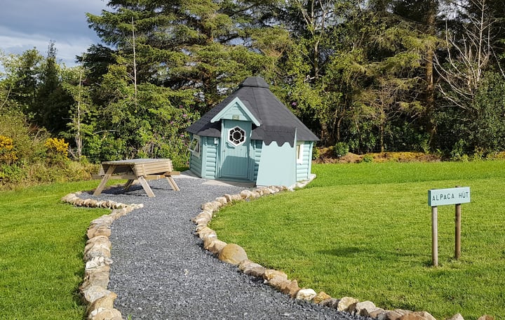 Hut site in Ballybaun (lackalea Ed)Hut site · 1258 yd
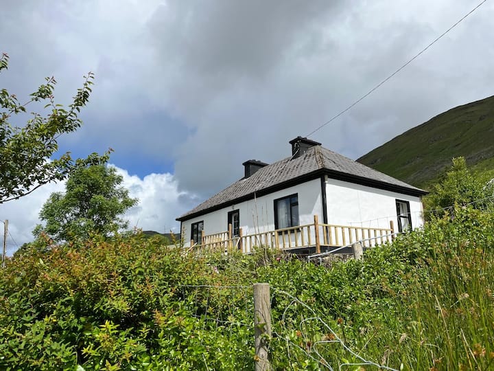 LisnagalhaghFairy fort / earthen ringfort · 1532 yd
 Turoe StoneHeritage attraction · 1.1 mi
 Galboley Castle (in ruins)Castle, unclassified · 1.1 mi
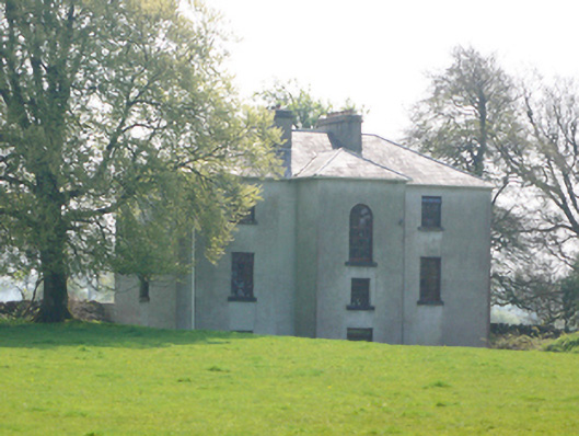 Lynchfort Househouse · 1.3 mi
 R.C. ChapelChurch · 1.3 mi
 Bawn in Cahernamuck WestBawn · 1.6 mi
 Barrack IslandIslet · 3.7 mi
 Middle IslandIslet · 3.7 mi
 Long PointHeadland · 4.5 mi
 Dartfield Horse MuseumHeritage attraction · 4.8 mi
 Scalpeen RockNamed rock · 8.8 mi
Other information
Photo: Credit not shown in the picture search · Rights wording not checked; contact us if this picture should be removed