What is recorded here
In pasture, on S-facing slope. D-shaped enclosure (70m NNE-SSW; projecting c. 100m to E) defined by linear field boundary (NNE-SSW) to W and to N, curved earthen bank (int. H 0.5m; ext. H 1m) NE->SW, open elsewhere; external fosse (D 1m) E->SW. Break in bank to SE (Wth 3.2m). Inner face of bank survives as gentle slope from interior to top of bank. Interior level. Recorded by Bowman (1934, 210) as double-ramparted D-shaped fort on P. J. O'Callaghan's land; 'about two-thirds of the outer, and practically all the inner ramparts are levelled...intervening fosse is c. 14 feet wide'. Lime kiln shown inside bank to SE, on 1842 OS 6-inch map, described as 'disused...on south side of inner rampart' (ibid.). No visible surface trace of lime kiln. According to Bowman (ibid.) church site and burial ground (14121) in interior.
The above description is derived from the published 'Archaeological Inventory of County Cork. Volume 4: North Cork' (Dublin: Stationery Office, 2000). In certain instances the entries have been revised and updated in the light of recent research.
Date of upload/revision: 14 January 2009
The monument record does not grant public access. Check the route and ask the landowner before entering private land.
- What survives
- Recorded monument
Places near here
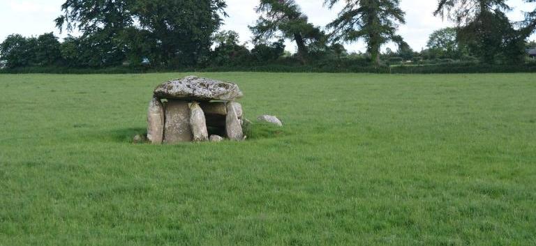 Burial ground in KillarushBurial ground · 1 yd
 IndicatedHouse, vernacular house · 1193 yd
 kilnkiln · 1229 yd
 Burial ground in Kilcaskan SouthBurial ground · 1317 yd
 CastleCastle, unclassified · 1.0 mi
 St Fursey's WellSpring · 1.1 mi
 Clonmeen Court (Site of)House, fortified house · 1.2 mi
 Kanturk CastleHeritage attraction · 1.6 mi
 Burial ground in AssolasBurial ground · 1.7 mi
 European YewEuropean Yew · 1.8 mi
 Hanna SheehyMemorial · 2.4 mi
 Mount Hillary - Knightfield LoopWalking route · 2.5 mi