What is recorded here
It is identified with a St Mo Lappog, of whom nothing was known, by J. O'Donovan in the 1830s (O'Flanagan 1931 vol. 1, 112), and it was also known as Dromyn (D'Alton 1845, 89). Mo Lappog or Lapán is a familiar form of Labhraidh – he who speaks – and four instances are known in Ireland but there is no saint of the name (Ó Riain 2011, 391). It is situated on top of a knoll. An ecclesiastical enclosure (RO010-062003-) is visible as a D-shaped grass-covered area (dims c. 65m N-S; c. 50m E-W) defined by an earthen bank (Wth 4.5-4.7m; int. H 0.1-0.4m; ext. H 1.1-1.65m) SE-SW, and a scarp (H 1.4-1.7m) elsewhere. There is no evidence of a church (RO010-062001-) or burial, although a rectangular graveyard (RO010-062002-) (dims c. 30m E-W; c. 30m N-S), of which nothing is now visible, is marked on the 1837 ed. of the OS 6-inch map, and human bones and copper ornaments were found there c. 1860 (OS Name Book).
Compiled by: Michael Moore
Date of revised upload: 8 June 2015
Ecclesiastical enclosure in Killappoge is a likely early-medieval ringfort associated with St Mo Lappog, a figure noted by 19th-century scholars though otherwise obscure. The site, also called Dromyn, reflects a blend of Christian and pre-Christian traditions, with its name and setting suggesting a possible connection to both monastic activity and local fairy or otherworldly folklore.
The monument record does not grant public access. Check the route and ask the landowner before entering private land.
- What survives
- Recorded monument
Places near here
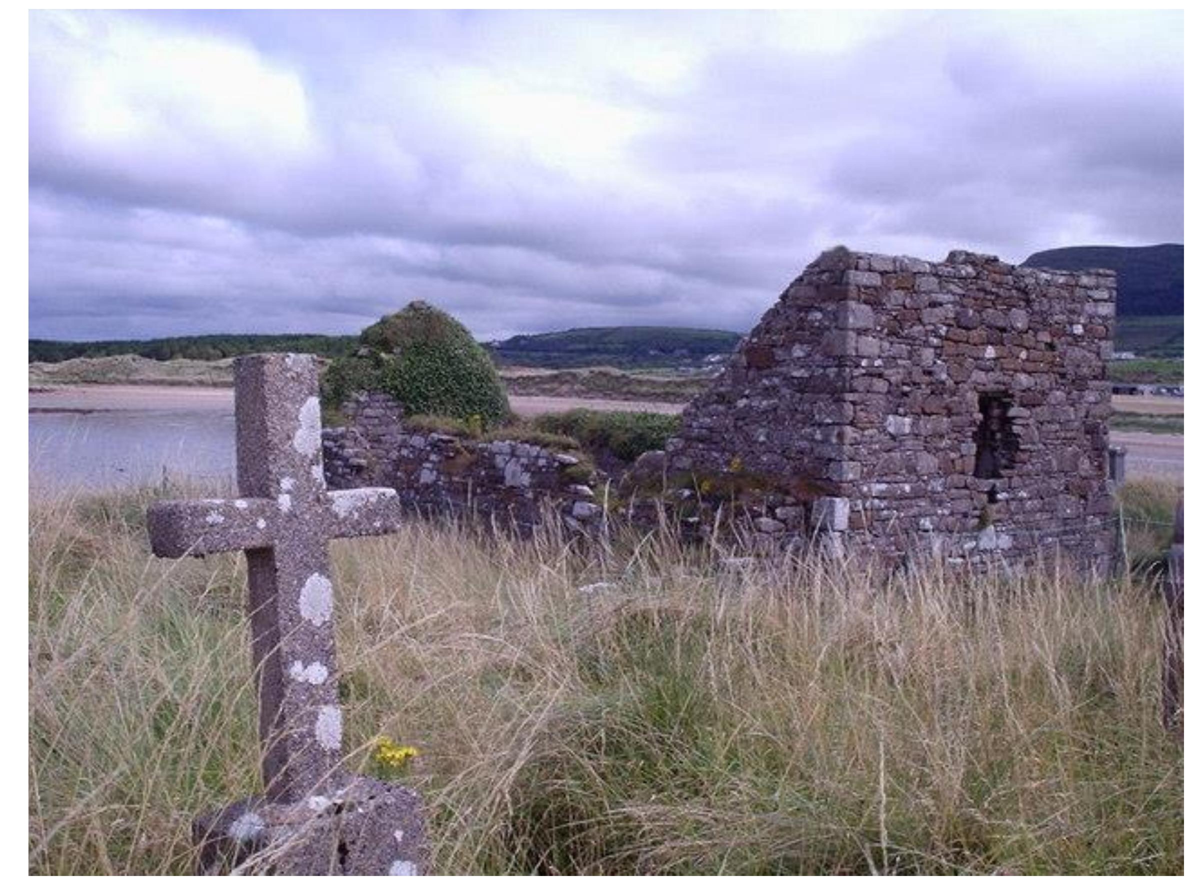 Church (Site of)Church · 4 yd
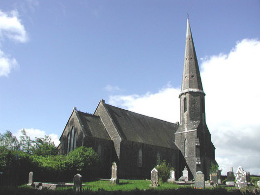 Holy Trinity Church (Killummod)church/chapel · 664 yd
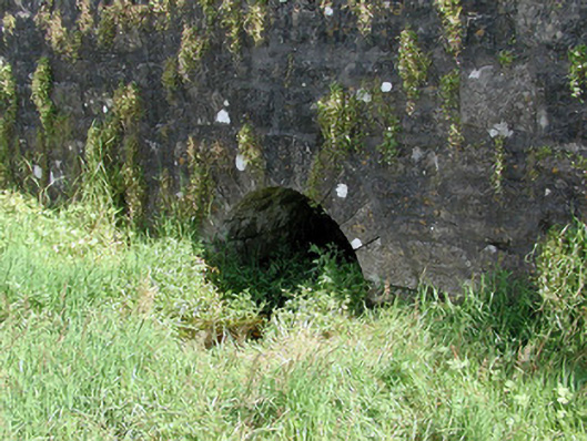 Historic buildingOfficially recorded historic building · 724 yd
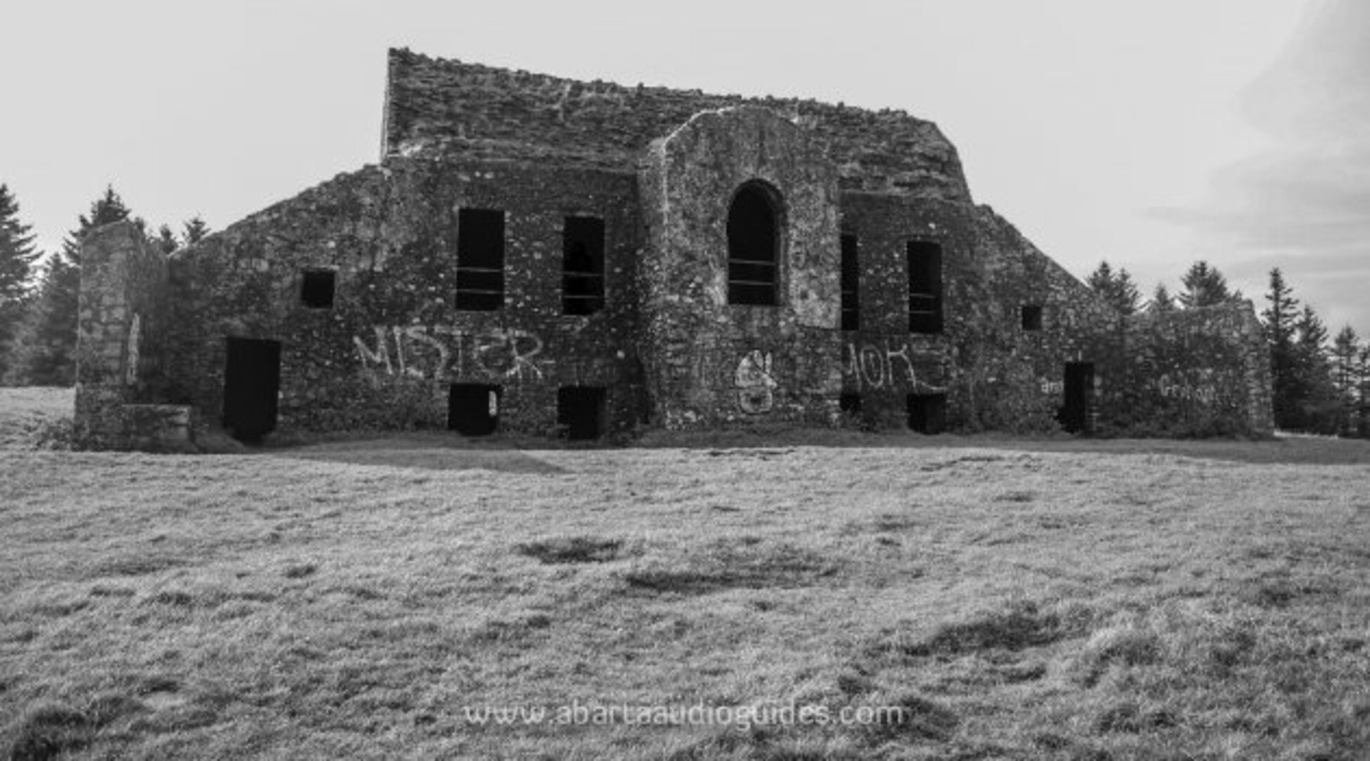 Embanked enclosureFairy fort / earthen ringfort · 729 yd
 Castle (Site of)Castle, unclassified · 1708 yd
 IndicatedCastle, unclassified · 1.2 mi
 Hughestown WoodForest · 4.2 mi
 Coolnahinch WoodWood · 4.8 mi
 War of Independence Commemorative Military MemorialMemorial · 4.8 mi
 Moon RiverHeritage attraction · 5.1 mi
 King William MemorialMonument · 5.8 mi
 Curlew MountainsMountain / peak · 9.2 mi