What is recorded here
Near the top of a long, gentle E-facing pasture slope. A large D-shaped area (int diam. c. 80m N-S) with a straight S side (L c. 96m) is defined by a low, grassed-over earthen bank (Wth 1.6m; int H 0.2m; ext H 0.6m) and shallow outer fosse (Wth 5.4m; D 0.6m) W-N-E, which is recut as a later field drain NNW-NNE, and by a low scarp (H 0.6m) along its straight S side. In 1985 local information suggested that the site extended further S but was levelled by compulsory ploughing during the Second World War (SMR file). (CUCAP AYR 48 (1969); Costello 1999, 55).
Compiled by: Gearóid Conroy
Date of upload: 10 June 2011
The monument record does not grant public access. Check the route and ask the landowner before entering private land.
- What survives
- Recorded monument
Places near here
 Church (Site of)Church · 43 yd
 Enclosure in Newtown (cloncurry Ed)Enclosure · 475 yd
 Catholic Church of the Nativity of the Blessed Virgin Marychurch/chapel · 1131 yd
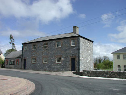 Newtown National Schoolschool · 1153 yd
 Old Bog Road made famous by Teresa Bryton 1868-1943Memorial · 1.8 mi
 European ashEuropean ash · 1.9 mi
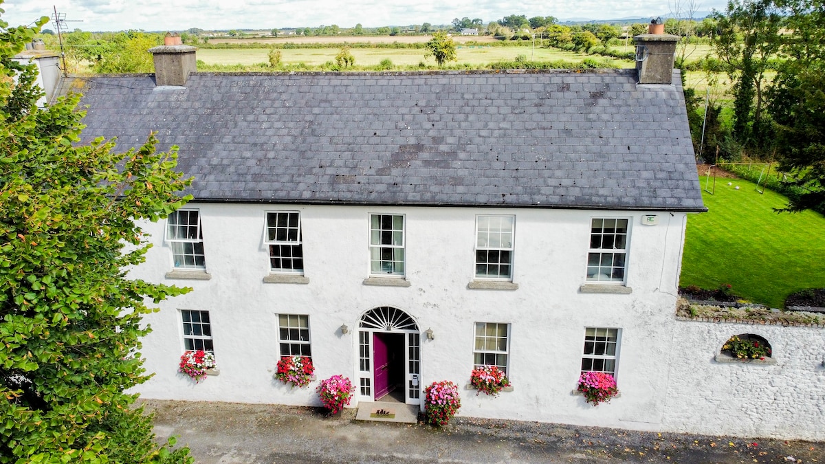 Bawn in PitchfordstownBawn · 2.1 mi
 MoatCastle, motte · 2.2 mi
 Cloncurry GraveyardHeritage attraction · 2.4 mi
 Kilgar GardensHeritage attraction · 2.7 mi
 Mass was there in Penal TimesMemorial · 2.8 mi
 Loughtown CovertWood · 4.3 mi