
What is recorded here
Situated on a slight E-facing slope. The parish church of Drumlargan (ME043-037----) and it s graveyard (ME043-037001-) are within a larger ecclesiastical enclosure (diam. c. 170m) defined by a scarp and slight traces of an external ditch E-S, and by a curving road NW-NE, but it has been curtailed by a NW-SE field bank at SW. Burials were found in the W part of the larger enclosure in 1982 (SMR file). Archaeological testing (04E0745) on the line of the perimeter at NE failed to produce any related material (Duffy 2007).
Compiled by: Michael Moore
Date of upload: 24 March, 2014
The monument record does not grant public access. Check the route and ask the landowner before entering private land.
- What survives
- Recorded monument
Places near here
 Church (in Ruins)Church · 32 yd
 Summerhill HouseRuins · 1.2 mi
 Enclosure in Summerhill DemesneEnclosure · 1.5 mi
 EnclosureEnclosure, large enclosure · 1.6 mi
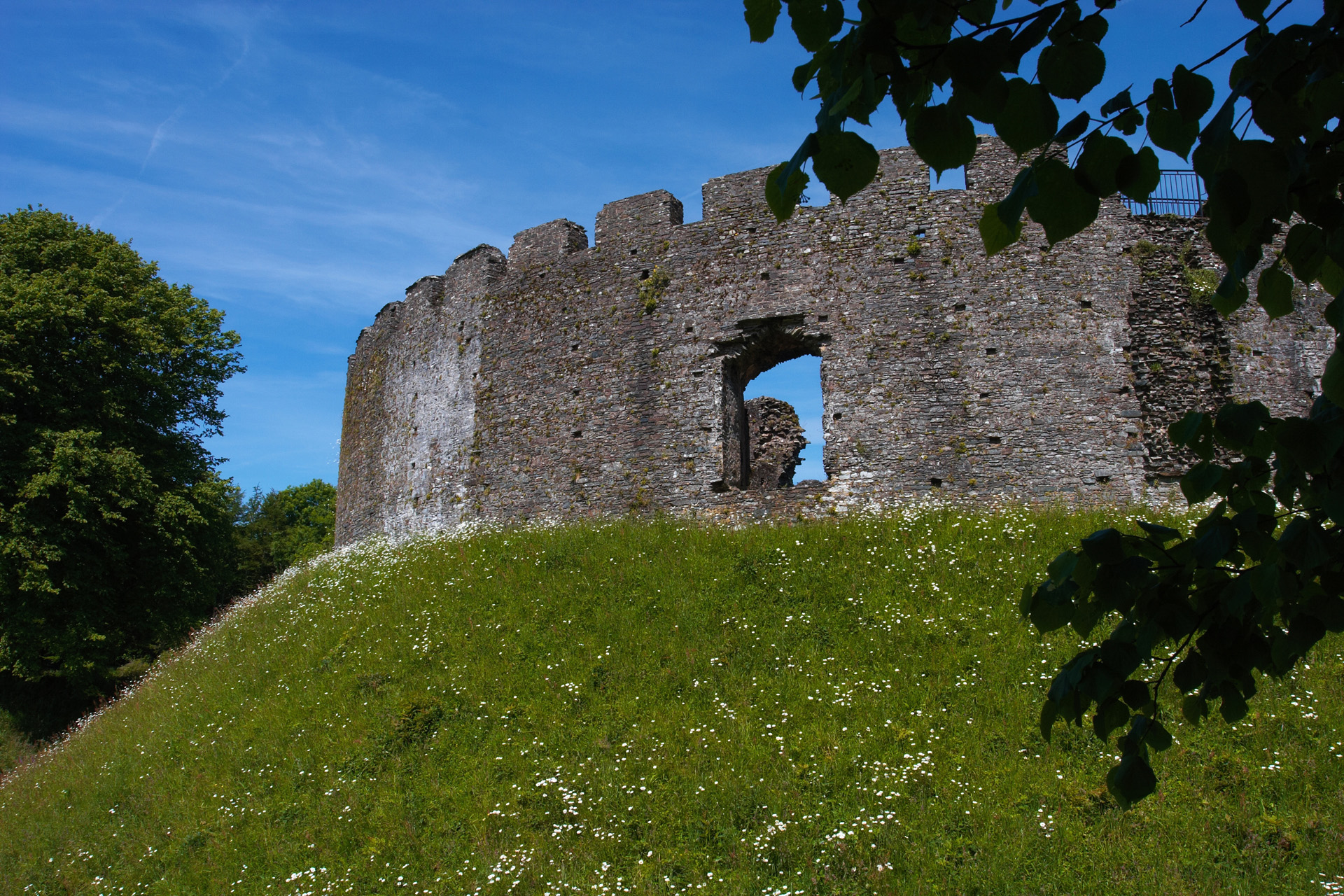 CastleCastle, motte and bailey · 1.6 mi
 Kilgar GardensHeritage attraction · 2.0 mi
 European ashEuropean ash · 2.1 mi
 Larchil Arcadian GardensHeritage attraction · 2.6 mi
 MullaghMountain / peak · 3.1 mi
 Old Bog Road made famous by Teresa Bryton 1868-1943Memorial · 3.5 mi
 Dangan CastleCastle, tower house · 3.5 mi
 Saints IslandForest · 3.6 mi
Other information
Photo: Credit not shown in the picture search · Rights wording not checked; contact us if this picture should be removed