What is recorded here
In pasture, to SW of road and c. 600m to SE of Mitchelstown. Remains comprise of church (14400), graveyard (14549), holy well (13951) and site of round tower (13906). Low earthworks visible in field to S and W of graveyard (pers. comm. J. Monk) may relate to early ecclesiastical enclosure. According to the ''Life'' of St Finnchu, 'preserved in the Book of Lismore... Finnchu, under the popular name of Fanachan...obtained a grant of land for a monastery at Fan Muilt...the present Brigown or Mitchelstown' (Power 1932, 24-5) and also that St Abban blessed Brigown and 'left an office of the church' there (ibid., 82). 'Colgan, in his Acta Sanctorum [compiled by John Colgan, 1645], says that Brigown was an Episcopal See, and that St. Finnchan was, in the sixth century, a bishop there' (Moore 1889, 221).
In pasture, to SW of road and c. 600m to SE of Mitchelstown. Remains comprise of church (14400), graveyard (14549), holy well (13951) and site of round tower (13906). Low earthworks visible in field to S and W of graveyard (pers. comm. J. Monk) may relate to early ecclesiastical enclosure. According to the ''Life'' of St Finnchu, 'preserved in the Book of Lismore... Finnchu, under the popular name of…
From the National Monuments Service (Archaeological Survey of Ireland) record CO019-030005
The monument record does not grant public access. Check the route and ask the landowner before entering private land.
- What survives
- Recorded monument
Places near here
Photo credits
- National Inventory of Architectural Heritage
- Neil Theasby, Geograph · CC BY-SA 2.0
- john salter, Geograph · Creative Commons Attribution-ShareAlike 2.0
- Mike Searle, Geograph · CC BY-SA 2.0
- Colin Park, Wikimedia Commons · CC BY-SA 2.0
- CaitNi, Wikimedia Commons · CC BY-SA 4.0
St Finnchus WellHoly well · 36 yd Christian Brothers' Monastery and SchoolGates/railings/walls · 350 ydChristian Brothers' Monastery and SchoolMonastery · 536 ydChristian Brothers' Monastery and SchoolSchool · 570 ydStatue of Saint FanahanMemorial · 636 ydPresentation ConventConvent/nunnery · 660 ydMitchelstown Town MapVisitor information · 869 ydJohn MandevilleMemorial · 885 ydGrave YardGraveyard · 4.4 miDunmahon Castle (in Ruins)Bawn · 5.4 miGlanworth Castle (in Ruins)Castle, Anglo-Norman masonry castle · 6.2 miCarrigeenamronetyMountain / peak · 7.8 mi
 Christian Brothers' Monastery and SchoolGates/railings/walls · 350 yd
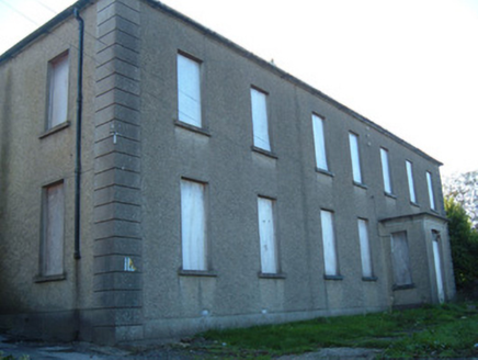 Christian Brothers' Monastery and SchoolMonastery · 536 yd
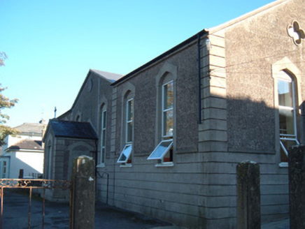 Christian Brothers' Monastery and SchoolSchool · 570 ydStatue of Saint FanahanMemorial · 636 yd
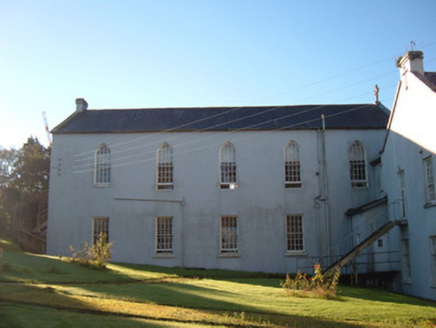 Presentation ConventConvent/nunnery · 660 ydMitchelstown Town MapVisitor information · 869 yd
 John MandevilleMemorial · 885 yd
 Grave YardGraveyard · 4.4 mi
 Dunmahon Castle (in Ruins)Bawn · 5.4 mi
 Glanworth Castle (in Ruins)Castle, Anglo-Norman masonry castle · 6.2 mi
 CarrigeenamronetyMountain / peak · 7.8 mi
More archaeology and monuments in County Cork · All of County Cork
What do you know about this place?