What is recorded here
Ballyallinan North holds a curved ditch about one hundred metres wide beside Temple Beinid, a children's burial ground and a holy well. The ditch may have marked the edge of a Christian worship area, while the nearby graves and water suggest the land remained alive for mourning, healing and memory.
The curving ditch of a possible ecclesiastical enclosure (approx. diam. 100m) is visible on Digital Globe to the S of a small church known as Temple Beinid (LI029-056001-), children's burial ground (LI029-056002-) and holy well (LI029-056003-).
See attached image showing line of possible ecclesiastical enclosure taken from Digital Globe
Compiled by: Caimin O'Brien
Date of upload: 22 January 2019
The monument record does not grant public access. Check the route and ask the landowner before entering private land.
- What survives
- Recorded monument
Places near here
 St. Bernards WellHoly well · 31 yd
 European ashEuropean ash · 46 yd
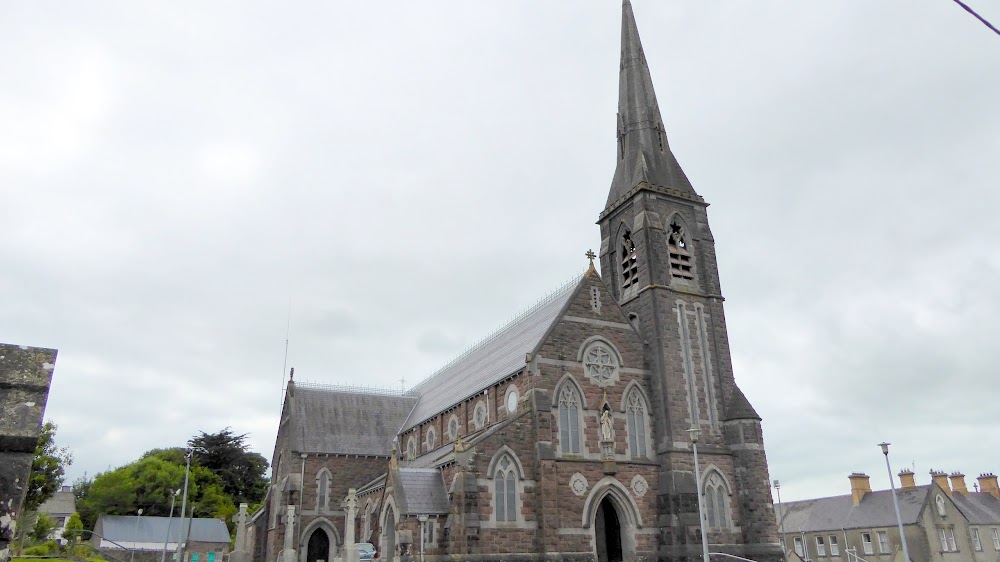 Church (in Ruins)Church · 77 yd
 CastleCastle, tower house · 265 yd
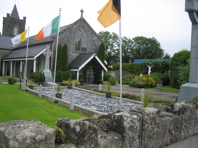 BarrowBarrow, unclassified · 1184 yd
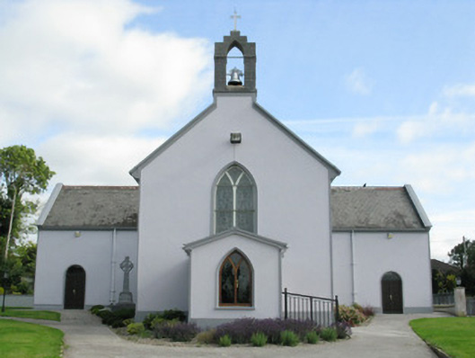 Saint Munchin's Catholic Churchchurch/chapel · 1.4 mi
 LaghtpatrickSpring · 2.1 mi
 Glebe CastleCastle · 2.2 mi
 TobernablahySpring · 2.3 mi
 Limerick GreenwayWalking route · 8.0 mi
 Sugar HillMountain / peak · 9.4 mi
 Ballagh MountainMountain / peak · 9.8 mi