What is recorded here
On a SW-facing slope in pasture. Depicted on all eds. of the OS 6-inch map as subcircular enclosure (c. 90m N-S; c. 85m E-W) and designated 'Fort' on the 1837 and 1887 eds. The enclosure has been modified and incorporated into a field boundary from NW-N-E. Elsewhere it has been levelled but its outline is still identifiable. There is a church (LF014-092001-) in the interior just off-centre to the NE.
Compiled by: Patrick F. O'Donovan, Caimin O'Brien
Date of upload: 4 June 2013
The monument record does not grant public access. Check the route and ask the landowner before entering private land.
- What survives
- Recorded monument
Places near here
 IndicatedChurch · 11 yd
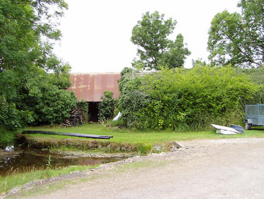 mill (water)mill (water) · 977 yd
 FortsFairy fort / earthen ringfort · 1658 yd
 LF014-104---- : Ringfort - rath : OLDTOWNArchaeological place · 1737 yd
 Bawn in LissardowlanBawn · 1.2 mi
 CastleCastle, Anglo-Norman masonry castle · 1.2 mi
 Oldtown DemesneForest · 1.5 mi
 Oldtown CopseWood · 1.5 mi
 Saint Mel's CathedralCathedral · 3.4 mi
 First World War MemorialMemorial · 3.4 mi
 Graveyard in Curry (ardagh By., Coolamber Ed)Graveyard · 3.9 mi
 Granard MotteMotte-and-bailey castle remains · 11 mi