What is recorded here
In poorly drained grassland. Cropmark of circular-shaped earthwork (diam. c. 20m) visible on Google Earth orthoimages and on Digital Globe orthophoto taken between 2011-13.
See attached Google Earth orthophoto taken 18/03/2009
Compiled by: Caimin O'Brien based on details provided by Jean-Charles Caillère
Date of upload: 11 July 2022
The monument record does not grant public access. Check the route and ask the landowner before entering private land.
- What survives
- Recorded monument
Places near here
 Enclosure in LisnacreevyEnclosure · 776 yd
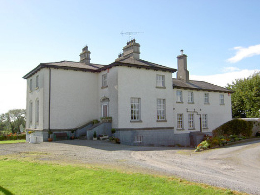 Glebe Houserectory/glebe/vicarage/curate's house · 802 yd
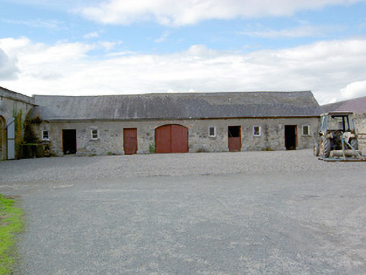 Colehill Houseoutbuilding · 1073 yd
 Enclosure in Killeendowd,taghshinnyEnclosure · 1466 yd
 Not locatedCastle, unclassified · 1.2 mi
 European BeechEuropean Beech · 1.4 mi
 Abbeyshrule AbbeyRuins · 1.5 mi
 Common LimeCommon Lime · 1.5 mi
 DoonphilipCastle, motte · 1.7 mi
 Goldsmith Birthplace, PallasVisitor information · 2.0 mi
 Newcastle WoodsForest · 2.5 mi
 Guest ServicesVisitor information · 2.7 mi