
What is recorded here
In tillage field. Circular-shaped cropmark (diam. c. 27m) visible on Apple Maps orthoimage and faint outline of cropmark visible on Digital Globe orthoimage taken between 2011-13.
See attached orthoimage taken from Apple Maps and Google Earth orthoimages
Compiled by: Caimin O'Brien based on details provided by Jean-Charles Caillère
Date of upload: 23 December 2022
The monument record does not grant public access. Check the route and ask the landowner before entering private land.
- What survives
- Recorded monument
Places near here
 Ring-ditch in SaintdoolaghsRing-ditch · 101 yd
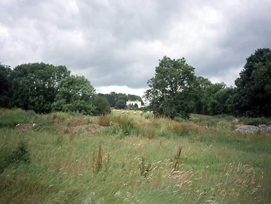 Saint Doolagh's Parkcountry house · 298 yd
 Field system in SaintdoolaghsField system · 404 yd
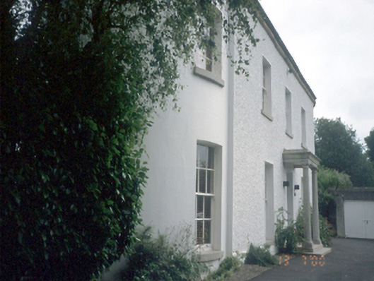 Wellfield Househouse · 530 yd
 St Catherine's WellSpring · 561 yd
 Ayrfied UnitedHeritage attraction · 1.3 mi
 Strand Mill RuinsRuins · 1.3 mi
 CastleCastle, unclassified · 1.5 mi
 Map of Baldoyle Industrial EstateVisitor information · 1.5 mi
 Black WoodWood · 1.8 mi
 Baldoyle Estuary Nature ReserveNature reserve · 1.9 mi
 Stardust MemorialMemorial · 1.9 mi
Other information
Photo: Credit not shown in the picture search · Rights wording not checked; contact us if this picture should be removed