
What is recorded here
In low-lying terrain under tillage east of St Doulagh's church (DU015-009001-). An aerial photograph taken in 1971 (FSI 450/449) shows a cropmark of a ring feature (diam. c. 20m). Visible on Bing (viewed 25/01/2015). Not visible at ground level.
See attached image from Apple Maps aerial coverage showing cropmark of ring-ditch provided by Jean-Charles Caillère and Google Earth orthoimage
Compiled by: Geraldine Stout
Updated by: Christine Baker
Revised by Caimin O'Brien
Date of revised upload: 23 December 2022
The monument record does not grant public access. Check the route and ask the landowner before entering private land.
- What survives
- Recorded monument
Places near here
 Earthwork in SaintdoolaghsEarthwork · 101 yd
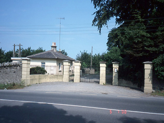 Saint Doolagh's Parkgate lodge · 395 yd
 Stone CrossCross · 405 yd
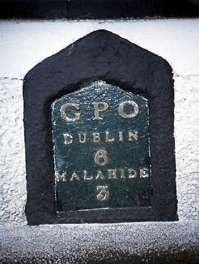 milestone/milepostmilestone/milepost · 444 yd
 St Catherine's WellSpring · 459 yd
 Ayrfied UnitedHeritage attraction · 1.3 mi
 Strand Mill RuinsRuins · 1.3 mi
 CastleCastle, unclassified · 1.5 mi
 Map of Baldoyle Industrial EstateVisitor information · 1.6 mi
 Black WoodWood · 1.9 mi
 Stardust MemorialMemorial · 1.9 mi
 Baldoyle Estuary Nature ReserveNature reserve · 1.9 mi
Other information
Photo: Credit not shown in the picture search · Rights wording not checked; contact us if this picture should be removed