
What is recorded here
A possible field system visible as a crop mark on Digital Globe orthoimage taken between 2011-13 together with a sub-circular enclosure (DU015-123----) in the same field (SMR file; pers. comm. T. Condit). Located on low east west rise within large open field, sloping and south facing. Traversed by ESB poles. No visible remains.
See attached Digital Globe orthoimage taken between 2011-13
Compiled by: David O'Connor
Updated by: Christine Baker
Date uploaded: 28 January 2015
The monument record does not grant public access. Check the route and ask the landowner before entering private land.
- What survives
- Recorded monument
Places near here
 Enclosure in SaintdoolaghsEnclosure · 67 yd
 Earthwork in SaintdoolaghsEarthwork · 404 yd
 Church in Balgriffin ParkChurch · 576 yd
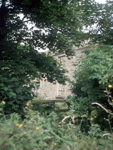 Wellfield Househouse · 849 yd
 St Catherine's WellSpring · 964 yd
 Strand Mill RuinsRuins · 1.1 mi
 Ayrfied UnitedHeritage attraction · 1.3 mi
 Map of Baldoyle Industrial EstateVisitor information · 1.3 mi
 Baldoyle Estuary Nature ReserveNature reserve · 1.6 mi
 CastleCastle, unclassified · 1.7 mi
 Black WoodWood · 1.8 mi
 MoatCastle, motte and bailey · 1.9 mi
Other information
Photo: Credit not shown in the picture search · Rights wording not checked; contact us if this picture should be removed